Transport Functions
Port
Road
Hub Profile
Place type
Populated place
Region
Hauts-de-France
Population
658
Time zone
Europe/Paris
Elevation
67 m
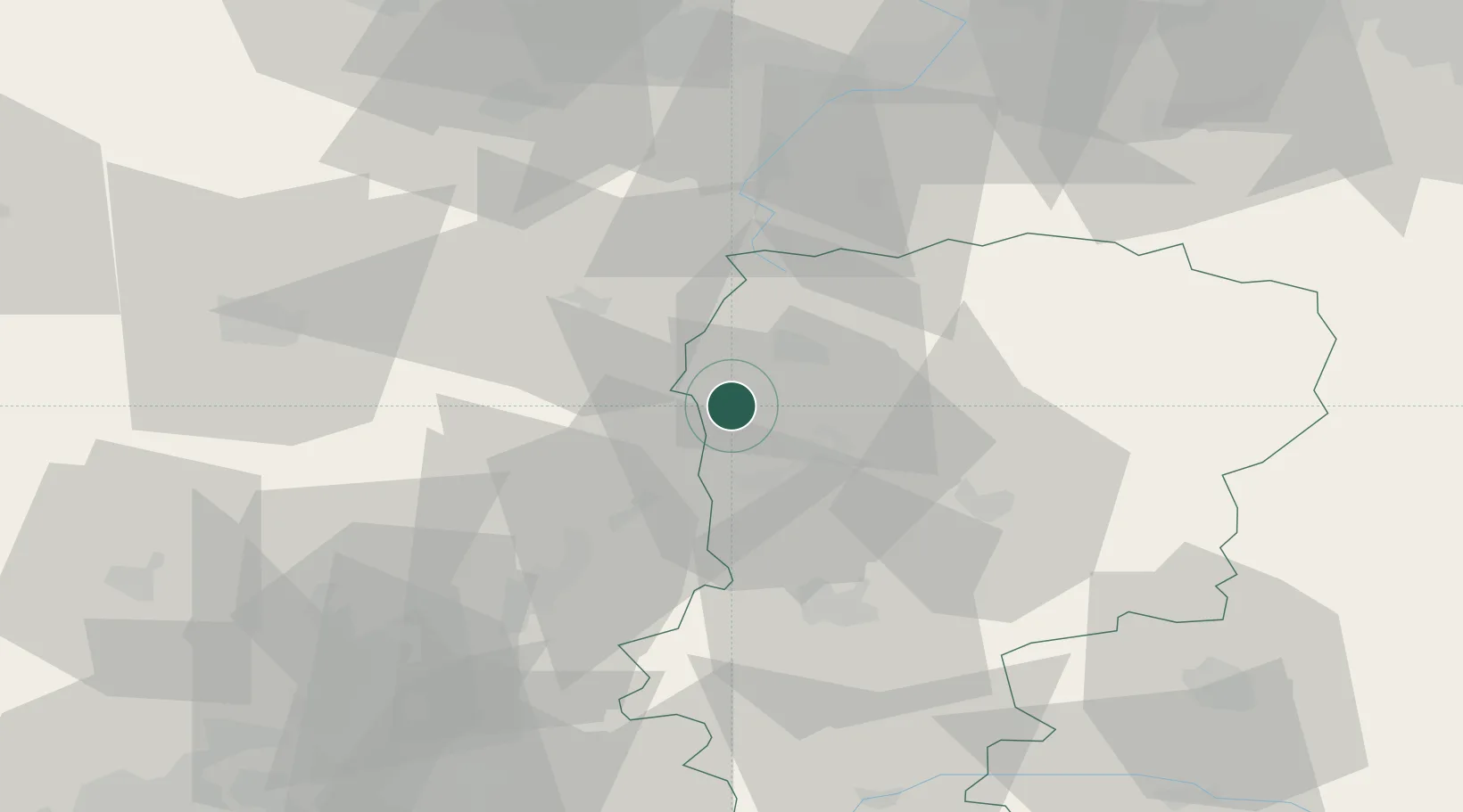
Location
Nearby Logistics Neighbours
Cities
- 1Essigny-le-Grand7 km
- 2Dallon9 km
- 3Esmery-Hallon11 km
- 4Vermand13 km
- 5Holnon14 km
Ports
- 1Saint-Valery-Sur-Somme121 km
- 2Le Treport134 km
- 3Bruxelles150 km
- 4Dieppe151 km
- 5Ghent152 km
Airports
- 1Péronne Saint-Quentin Airfield17 km
- 2Amiens Glisy Airfield58 km
- 3Valenciennes-Denain Airfield68 km
- 4Creil Air Base72 km
- 5Beauvais-Tillé airport83 km
DatabookThe Record of Consolidated Knowledge
France beyond logistics?