Transport Functions
Port
Road
Hub Profile
Place type
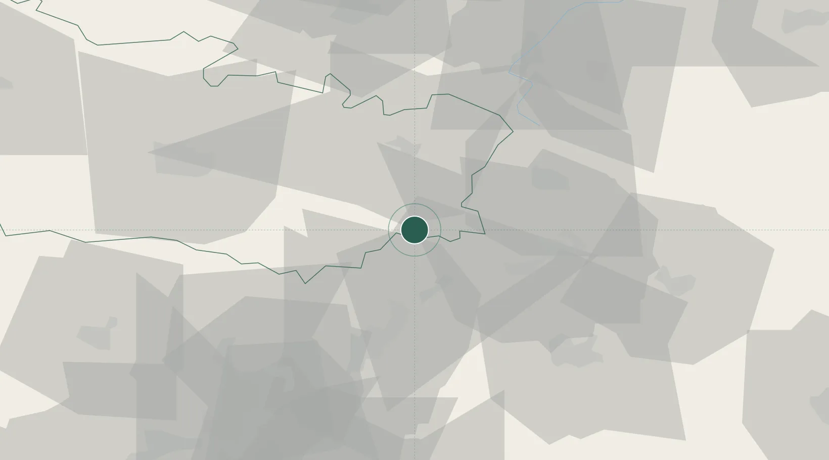
Populated place
Region
Hauts-de-France
Population
303
Time zone
Europe/Paris
Elevation
63 m
Location
Nearby Logistics Neighbours
Cities
- 1Ercheu1 km
- 2Esmery-Hallon6 km
- 3Roye11 km
- 4Chaulnes15 km
- 5Saint-Christ-Briost15 km
Ports
- 1Saint-Valery-Sur-Somme108 km
- 2Le Treport119 km
- 3Dieppe135 km
- 4Port Of Rouen138 km
- 5Boulogne-Sur-Mer148 km
Airports
- 1Péronne Saint-Quentin Airfield18 km
- 2Amiens Glisy Airfield43 km
- 3Creil Air Base60 km
- 4Beauvais-Tillé airport66 km
- 5Valenciennes-Denain Airfield78 km
Trade Zones
- 1ZFU Le Vermandois Vermand, Fayet, Artois, Champagne25 km
- 2ZFU Presles, Chevreux46 km
- 3ZFU Amiens61 km
- 4ZFU Creil et Montataire63 km
- 5ZFU Beauvais70 km
DatabookThe Record of Consolidated Knowledge
France beyond logistics?