Transport Functions
Port
Road
Hub Profile
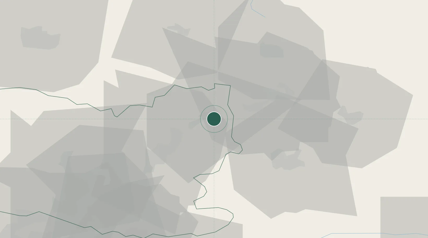
Place type
Populated place
Region
Hauts-de-France
Population
408
Time zone
Europe/Paris
Elevation
40 m
Location
Nearby Logistics Neighbours
Cities
- 1Pont-l'Évêque6 km
- 2Chauny13 km
- 3Autrêches14 km
- 4Mélicocq16 km
- 5Esmery-Hallon17 km
Ports
- 1Saint-Valery-Sur-Somme124 km
- 2Le Treport133 km
- 3Port Of Rouen144 km
- 4Dieppe147 km
- 5Boulogne-Sur-Mer166 km
Airports
Trade Zones
- 1ZFU Presles, Chevreux28 km
- 2ZFU Le Vermandois Vermand, Fayet, Artois, Champagne33 km
- 3ZFU Creil et Montataire57 km
- 4ZFU Meaux69 km
- 5ZFU Beauvais73 km
DatabookThe Record of Consolidated Knowledge
France beyond logistics?