UN/LOCODE hub · France
FRSQS
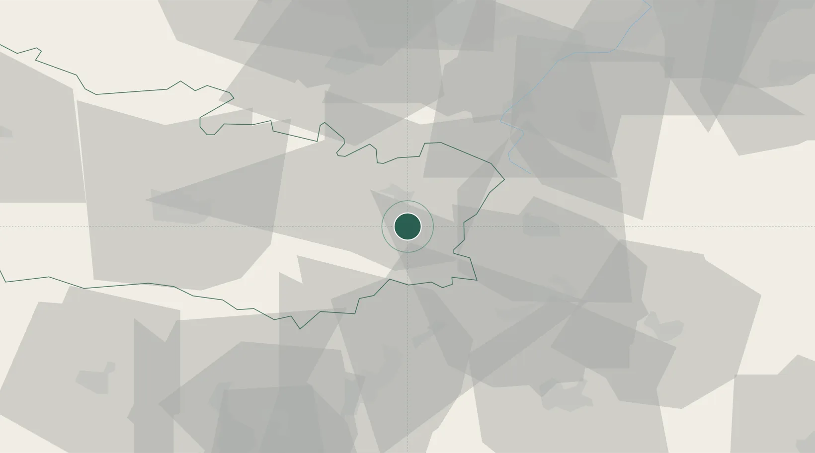
Saint-Christ-Briost
49.8500°, 2.9333°
439
Population
3
Transport functions
Transport Functions
Port
Rail
Road
Hub Profile
Place type
Populated place
Region
Hauts-de-France
Population
439
Time zone
Europe/Paris
Elevation
56 m
Location
Nearby Logistics Neighbours
Cities
- 1Barleux5 km
- 2Berny-en-Santerre6 km
- 3Biaches8 km
- 4Flaucourt9 km
- 5Chaulnes10 km
Ports
- 1Saint-Valery-Sur-Somme101 km
- 2Le Treport115 km
- 3Dieppe133 km
- 4Boulogne-Sur-Mer136 km
- 5Gravelines140 km
Airports
- 1Péronne Saint-Quentin Airfield7 km
- 2Amiens Glisy Airfield39 km
- 3Valenciennes-Denain Airfield65 km
- 4Creil Air Base73 km
- 5Beauvais-Tillé airport74 km
DatabookThe Record of Consolidated Knowledge
France beyond logistics?