UN/LOCODE hub · France
FRVV6

Bellefont-La Rauze

44.5167°, 1.4833°
2
Transport functions

Transport Functions

Road
Multimodal
UN/LOCODE

Hub Profile

Region
46
GeoNames

Location

Location of FRVV6
Natural Earth 10m (public domain) · 46 · FRVV6 · 44.52, 1.48GoogleOSMYandex

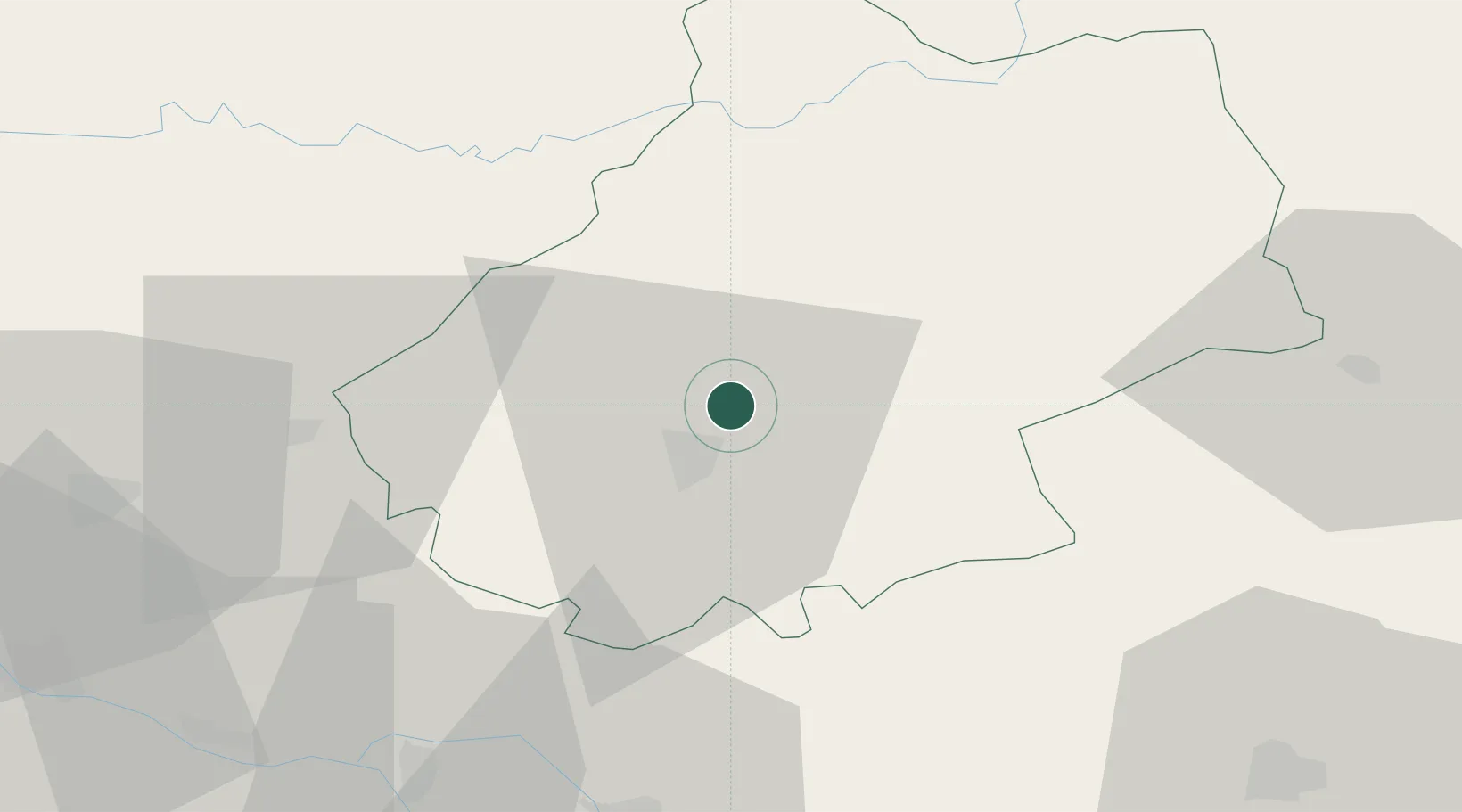
Nearby Logistics Neighbours

Cities
  1. 1Mercuès8 km
  2. 2Cahors8 km
  3. 3Saint-Denis-Catus10 km
  4. 4Douelle11 km
  5. 5Catus13 km
Nearest neighbours — logibook spatial index (haversine) over the source coordinates
Ports
  1. 1Bordeaux167 km
  2. 2Ambes169 km
  3. 3Blaye183 km
  4. 4Pauillac192 km
  5. 5Port-La-Nouvelle210 km
Nearest neighbours — logibook spatial index (haversine) over the source coordinates
Airports
  1. 1Cahors Lalbenque airport18 km
  2. 2Brive Souillac airport58 km
  3. 3Rodez–Aveyron Airport80 km
  4. 4Agen La Garenne airport80 km
  5. 5Bergerac Dordogne-Périgord airport84 km
Nearest neighbours — logibook spatial index (haversine) over the source coordinates
Trade Zones
  1. 1ZFU Toulouse102 km
  2. 2Port de Bordeaux165 km
  3. 3ZFU Hauts de Garonne167 km
  4. 4ZFU Clermont-Ferrand189 km
  5. 5ZFU Béziers191 km
Nearest neighbours — logibook spatial index (haversine) over the source coordinates
DatabookThe Record of Consolidated Knowledge
France beyond logistics?
Browse databook

All Sources

LocationsUN/LOCODE
UN/LOCODE — free
Portsthe NGA World Port Index
Public domain (US gov)
AirportsOurAirports
Public domain
Trade Zonesthe World Bank SEZ database
CC BY 4.0
Trade ZonesOpen Zone Map
CC BY
← France locations