Transport Functions
Multimodal
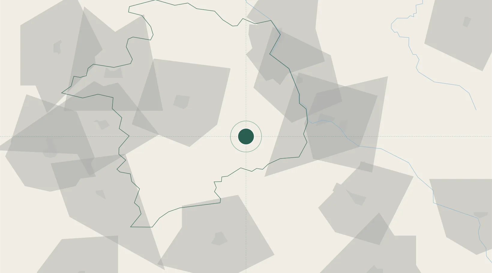
Hub Profile
Place type
Populated place
Region
Centre-Val de Loire
Population
257
Time zone
Europe/Paris
Elevation
187 m
Location
Nearby Logistics Neighbours
Ports
- 1Tonnay Charente300 km
- 2Rochefort303 km
- 3La Rochelle310 km
- 4Port Of Rouen310 km
- 5La Pallice314 km
Airports
- 1Avord (BA 702) Air Base19 km
- 2Nevers-Fourchambault Airport30 km
- 3Bourges airport34 km
- 4Châteauroux Déols airport78 km
- 5Montluçon-Guéret Airport81 km
Trade Zones
- 1ZFU Bourges38 km
- 2ZFU Clermont-Ferrand126 km
- 3ZFU Orléans128 km
- 4ZFU Blois135 km
- 5ZFU Sens149 km
DatabookThe Record of Consolidated Knowledge
France beyond logistics?