Transport Functions
Multimodal
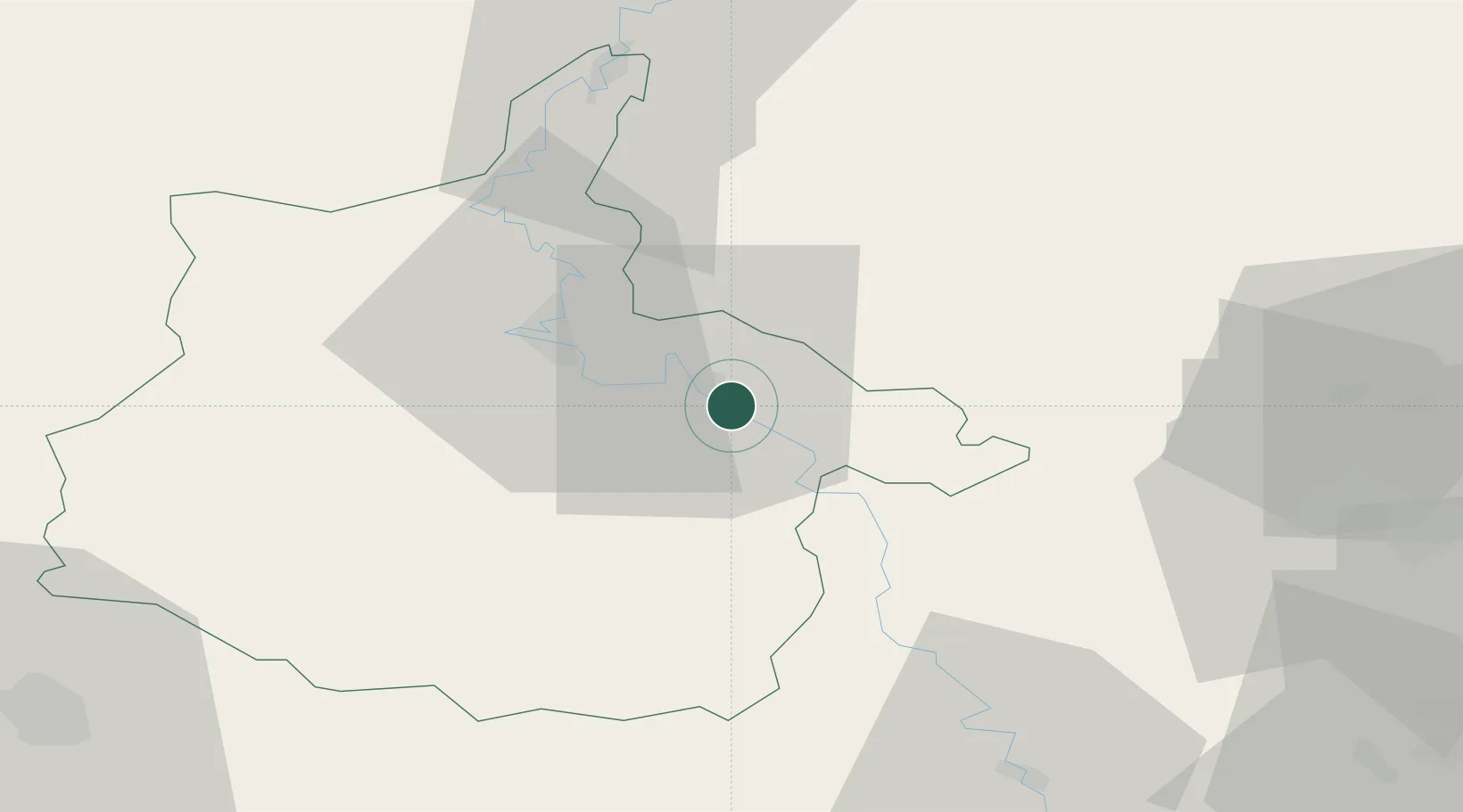
Hub Profile
Place type
Populated place
Region
Grand Est
Population
2,108
Time zone
Europe/Paris
Elevation
165 m
Location
Nearby Logistics Neighbours
Cities
- 1Thelonne3 km
- 2Haraucourt6 km
- 3Glaire-et-Villette7 km
- 4Saint-Menges8 km
- 5Machecourt10 km
Airports
Trade Zones
- 1ZFU Ronde Couture21 km
- 2ZFU Reims86 km
- 3Luxembourg Free Port89 km
- 4ZFU Maubeuge, Louvroil100 km
- 5ZFU Woippy-Metz102 km
DatabookThe Record of Consolidated Knowledge
France beyond logistics?