UN/LOCODE hub · France
FRG8V

Glaire-et-Villette

49.7167°, 4.9167°
1
Transport functions

Transport Functions

Port
UN/LOCODE

Hub Profile

Region
08
GeoNames

Location

Location of FRG8V
Natural Earth 10m (public domain) · 08 · FRG8V · 49.72, 4.92GoogleOSMYandex

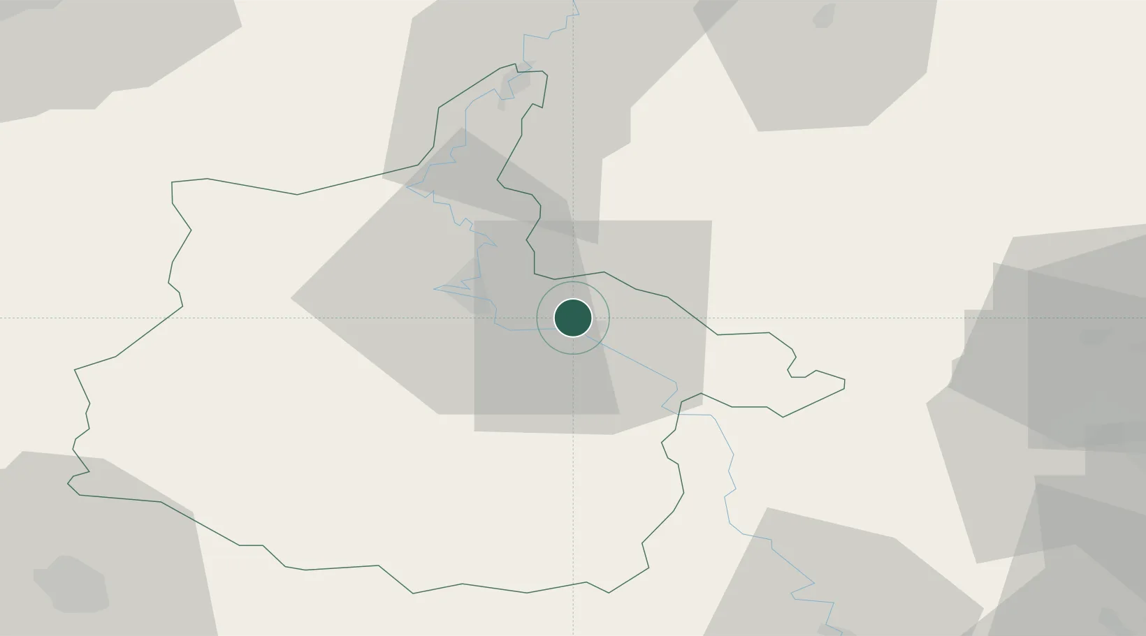
Nearby Logistics Neighbours

Cities
  1. 1Saint-Menges2 km
  2. 2Vrigne aux Bois5 km
  3. 3Bazeilles7 km
  4. 4Thelonne8 km
  5. 5Machecourt9 km
Nearest neighbours — logibook spatial index (haversine) over the source coordinates
Ports
  1. 1Bruxelles134 km
  2. 2Antwerpen171 km
  3. 3Ghent172 km
  4. 4Terneuzen198 km
  5. 5Hansweert203 km
Nearest neighbours — logibook spatial index (haversine) over the source coordinates
Airports
  1. 1Charleville-Mézières Ardennes-Etienne Riché Airfield21 km
  2. 2Florennes Air Base62 km
  3. 3Lieutenant Étienne Mantoux Air Base77 km
  4. 4Verdun-Le Rozelier Airfield77 km
  5. 5Brussels South Charleroi Airport89 km
Nearest neighbours — logibook spatial index (haversine) over the source coordinates
Trade Zones
  1. 1ZFU Ronde Couture15 km
  2. 2ZFU Reims85 km
  3. 3ZFU Maubeuge, Louvroil93 km
  4. 4Luxembourg Free Port94 km
  5. 5ZFU Woippy-Metz109 km
Nearest neighbours — logibook spatial index (haversine) over the source coordinates
DatabookThe Record of Consolidated Knowledge
France beyond logistics?
Browse databook

All Sources

LocationsUN/LOCODE
UN/LOCODE — free
Portsthe NGA World Port Index
Public domain (US gov)
AirportsOurAirports
Public domain
Trade Zonesthe World Bank SEZ database
CC BY 4.0
Trade ZonesOpen Zone Map
CC BY
← France locations