Transport Functions
Multimodal
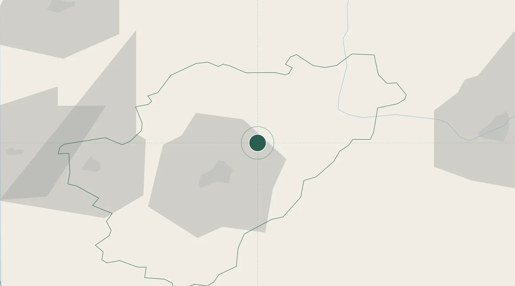
Hub Profile
Place type
Populated place
Region
Nouvelle-Aquitaine
Population
740
Time zone
Europe/Paris
Elevation
80 m
Location
Nearby Logistics Neighbours
Cities
- 1Jauldes5 km
- 2Pranzac13 km
- 3Magnac-sur-Touvre17 km
- 4Vars17 km
- 5Fontafie18 km
Ports
- 1Tonnay Charente97 km
- 2Rochefort101 km
- 3Blaye106 km
- 4Pauillac107 km
- 5Ambes109 km
Airports
Trade Zones
- 1Port de Bordeaux119 km
- 2ZFU La Rochelle127 km
- 3ZFU Hauts de Garonne128 km
- 4ZFU Angers202 km
- 5ZFU Bourges210 km
DatabookThe Record of Consolidated Knowledge
France beyond logistics?