Transport Functions
Port
Hub Profile
Place type
Populated place
Region
Nouvelle-Aquitaine
Time zone
Europe/Paris
Elevation
179 m
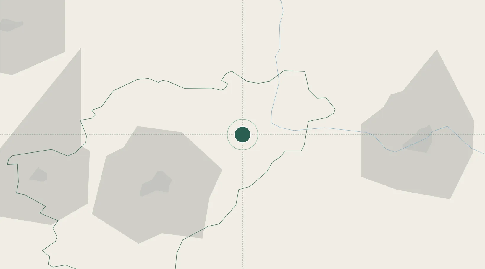
Location
Nearby Logistics Neighbours
Cities
- 1Genouillac3 km
- 2Mazieres5 km
- 3Suris8 km
- 4Chabanais14 km
- 5Cogny15 km
Ports
- 1Tonnay Charente111 km
- 2Rochefort115 km
- 3Blaye124 km
- 4Pauillac124 km
- 5Ambes126 km
Airports
Trade Zones
- 1Port de Bordeaux135 km
- 2ZFU La Rochelle139 km
- 3ZFU Hauts de Garonne144 km
- 4ZFU Bourges192 km
- 5ZFU Clermont-Ferrand197 km
DatabookThe Record of Consolidated Knowledge
France beyond logistics?