Transport Functions
Multimodal
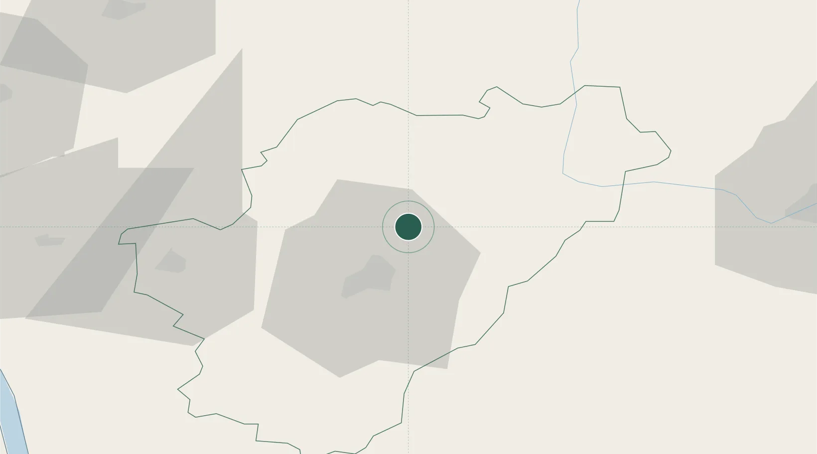
Hub Profile
Place type
Populated place
Region
Nouvelle-Aquitaine
Population
635
Time zone
Europe/Paris
Elevation
125 m
Location
Nearby Logistics Neighbours
Cities
- 1Agris5 km
- 2Vars12 km
- 3Pranzac15 km
- 4Magnac-sur-Touvre15 km
- 5Angoulême17 km
Ports
- 1Tonnay Charente92 km
- 2Rochefort96 km
- 3Pauillac102 km
- 4Blaye103 km
- 5Le Verdon106 km
Airports
Trade Zones
- 1Port de Bordeaux116 km
- 2ZFU La Rochelle122 km
- 3ZFU Hauts de Garonne125 km
- 4ZFU Angers200 km
- 5ZFU Bourges214 km
DatabookThe Record of Consolidated Knowledge
France beyond logistics?