Transport Functions
Multimodal
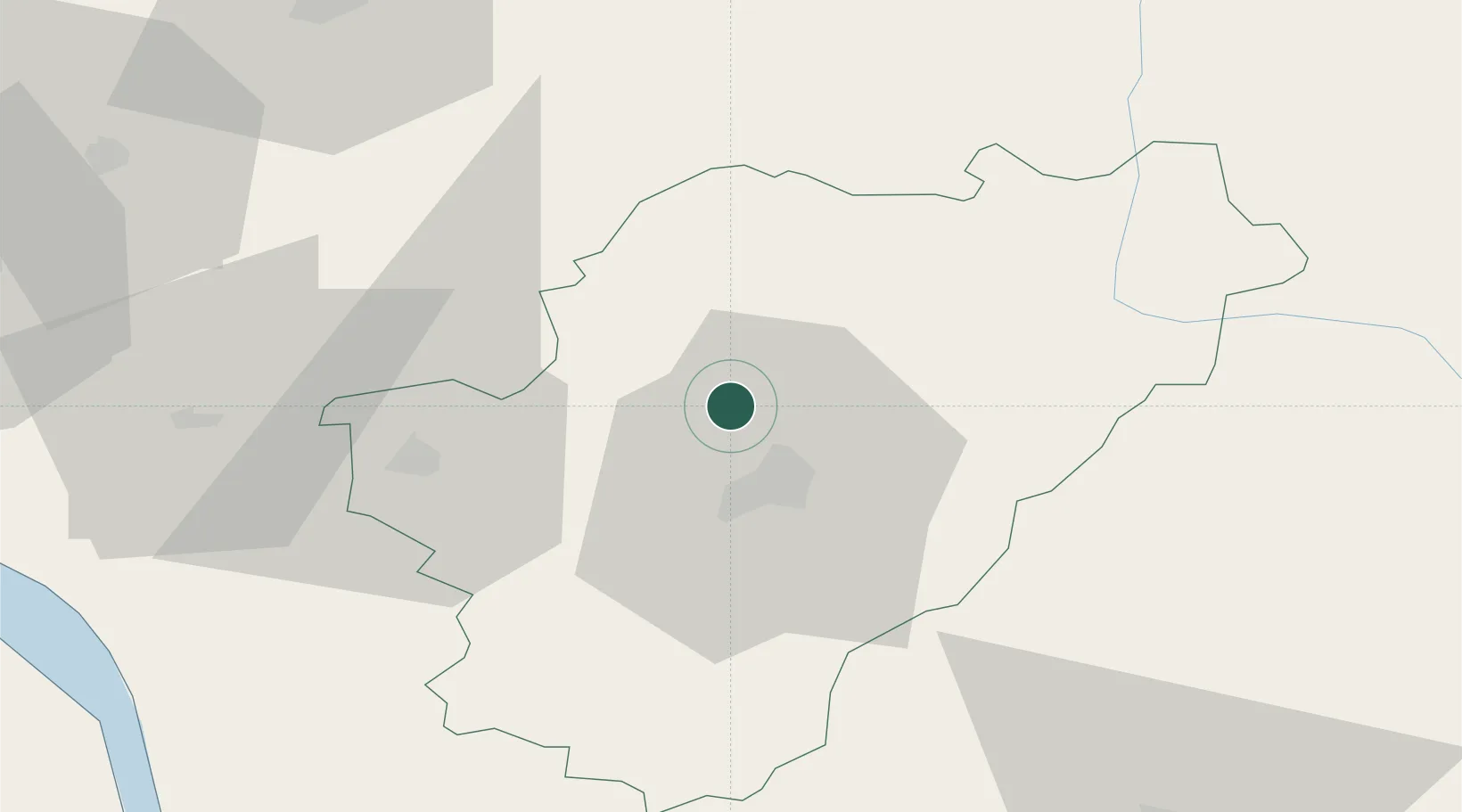
Hub Profile
Place type
Populated place
Region
Nouvelle-Aquitaine
Population
1,634
Time zone
Europe/Paris
Elevation
52 m
Location
Nearby Logistics Neighbours
Cities
- 1Jauldes12 km
- 2Angoulême14 km
- 3Linars14 km
- 4Magnac-sur-Touvre16 km
- 5Agris17 km
Ports
- 1Tonnay Charente81 km
- 2Rochefort85 km
- 3Pauillac92 km
- 4Blaye93 km
- 5Le Verdon94 km
Airports
Trade Zones
- 1Port de Bordeaux108 km
- 2ZFU La Rochelle112 km
- 3ZFU Hauts de Garonne118 km
- 4ZFU Angers198 km
- 5ZFU Nantes et Saint-Herblain214 km
DatabookThe Record of Consolidated Knowledge
France beyond logistics?