Transport Functions
Multimodal
Hub Profile
Place type
Populated place
Region
Hauts-de-France
Population
3,360
Time zone
Europe/Paris
Elevation
31 m
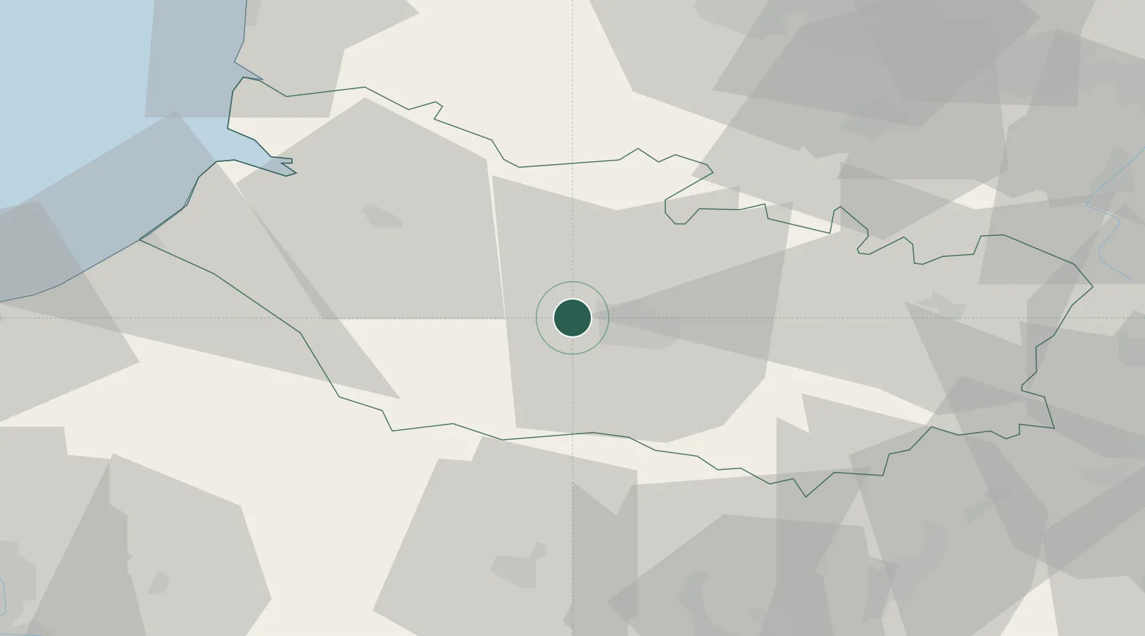
Location
Nearby Logistics Neighbours
Cities
- 1Arguves2 km
- 2Amiens7 km
- 3Longueau12 km
- 4Luilly15 km
- 5Condé-Folie17 km
Ports
- 1Saint-Valery-Sur-Somme51 km
- 2Le Treport62 km
- 3Dieppe80 km
- 4Port Of Rouen97 km
- 5Boulogne-Sur-Mer100 km
Airports
DatabookThe Record of Consolidated Knowledge
France beyond logistics?