Transport Functions
Port
Rail
Hub Profile
Place type
Provincial seat
Region
Hauts-de-France
Population
143,086
Time zone
Europe/Paris
Elevation
28 m
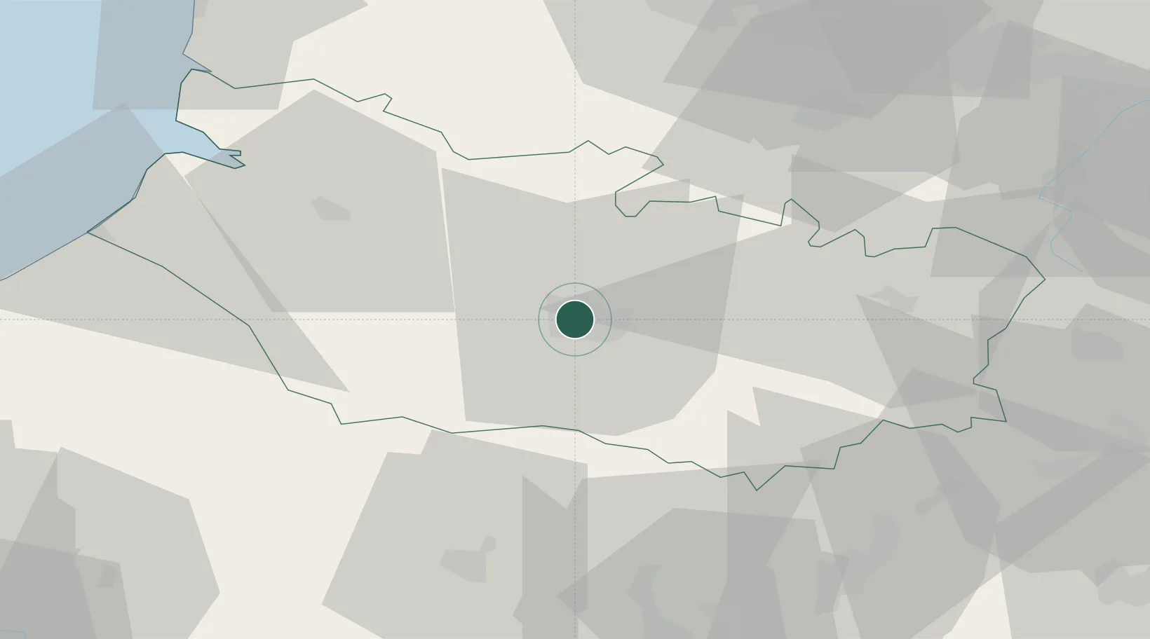
Location
Nearby Logistics Neighbours
Cities
- 1Arguves5 km
- 2Longueau5 km
- 3Ailly-sur-Somme7 km
- 4Daours11 km
- 5Luilly16 km
Ports
- 1Saint-Valery-Sur-Somme58 km
- 2Le Treport69 km
- 3Dieppe87 km
- 4Port Of Rouen102 km
- 5Boulogne-Sur-Mer105 km
Airports
DatabookThe Record of Consolidated Knowledge
France beyond logistics?