Transport Functions
Multimodal
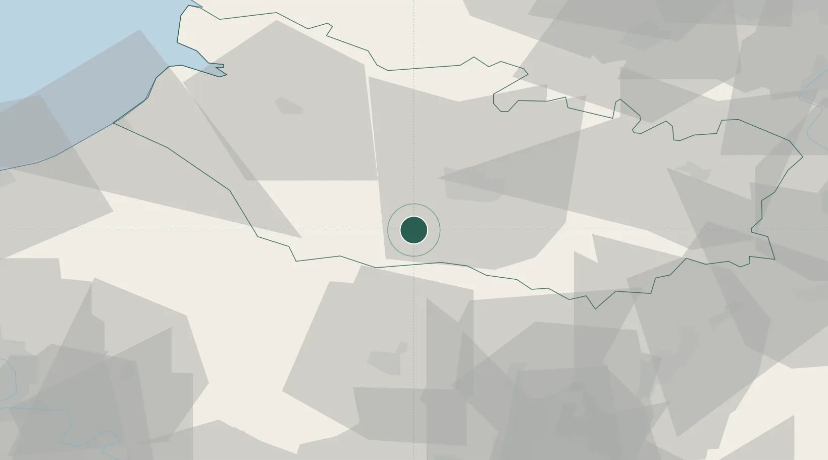
Hub Profile
Region
80
Location
Nearby Logistics Neighbours
Cities
- 1Tilloy-lès-Conty4 km
- 2Flers-sur-Noye8 km
- 3Ailly-sur-Somme15 km
- 4Arguves16 km
- 5Longueau16 km
Ports
- 1Saint-Valery-Sur-Somme59 km
- 2Le Treport65 km
- 3Dieppe79 km
- 4Port Of Rouen88 km
- 5Boulogne-Sur-Mer113 km
Airports
Trade Zones
- 1ZFU Amiens11 km
- 2ZFU Beauvais39 km
- 3ZFU Creil et Montataire61 km
- 4ZFU Le Vermandois Vermand, Fayet, Artois, Champagne75 km
- 5ZFU Rouen Bihorel85 km
DatabookThe Record of Consolidated Knowledge
France beyond logistics?