Transport Functions
Multimodal
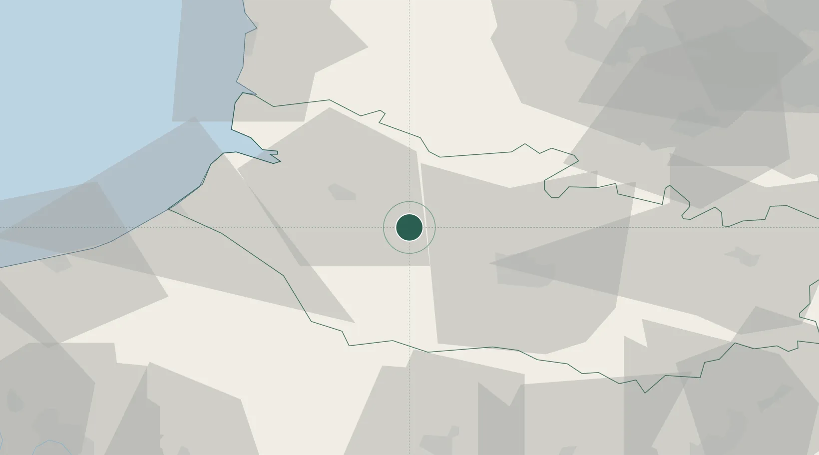
Hub Profile
Place type
Populated place
Region
Hauts-de-France
Population
828
Time zone
Europe/Paris
Elevation
16 m
Location
Nearby Logistics Neighbours
Cities
- 1Longpré-les-Corps-Saints2 km
- 2Fransu10 km
- 3Épagne-Épagnette12 km
- 4Abbeville16 km
- 5Ailly-sur-Somme17 km
Ports
- 1Saint-Valery-Sur-Somme34 km
- 2Le Treport47 km
- 3Dieppe67 km
- 4Boulogne-Sur-Mer85 km
- 5Port Of Rouen93 km
Airports
DatabookThe Record of Consolidated Knowledge
France beyond logistics?