Transport Functions
Road
Multimodal
Hub Profile
Region
80
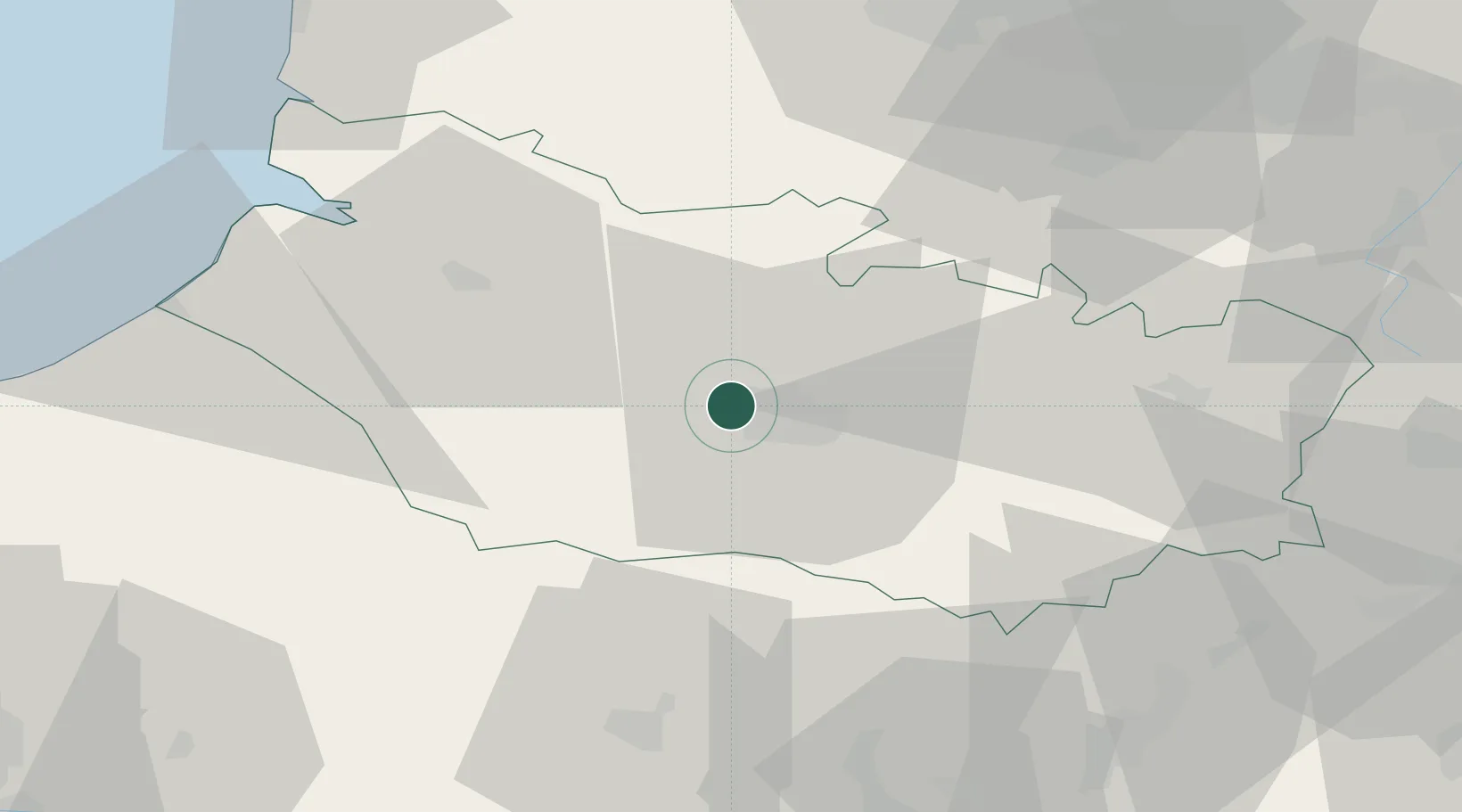
Location
Nearby Logistics Neighbours
Cities
- 1Ailly-sur-Somme2 km
- 2Amiens5 km
- 3Longueau10 km
- 4Luilly16 km
- 5Daours16 km
Ports
- 1Saint-Valery-Sur-Somme53 km
- 2Le Treport64 km
- 3Dieppe82 km
- 4Port Of Rouen99 km
- 5Boulogne-Sur-Mer101 km
Airports
DatabookThe Record of Consolidated Knowledge
France beyond logistics?