Transport Functions
Port
Rail
Road
Hub Profile
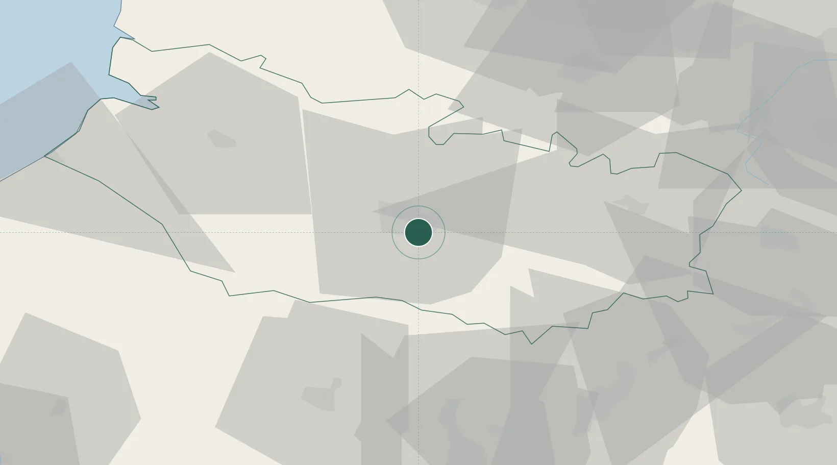
Place type
Populated place
Region
Hauts-de-France
Population
5,180
Time zone
Europe/Paris
Elevation
39 m
Location
Nearby Logistics Neighbours
Cities
- 1Amiens5 km
- 2Daours8 km
- 3Arguves10 km
- 4Ailly-sur-Somme12 km
- 5Thennes12 km
Ports
- 1Saint-Valery-Sur-Somme63 km
- 2Le Treport74 km
- 3Dieppe91 km
- 4Port Of Rouen103 km
- 5Boulogne-Sur-Mer110 km
Airports
DatabookThe Record of Consolidated Knowledge
France beyond logistics?