Transport Functions
Port
Multimodal
Hub Profile
Place type
Populated place
Region
Pays de la Loire
Population
507
Time zone
Europe/Paris
Elevation
44 m
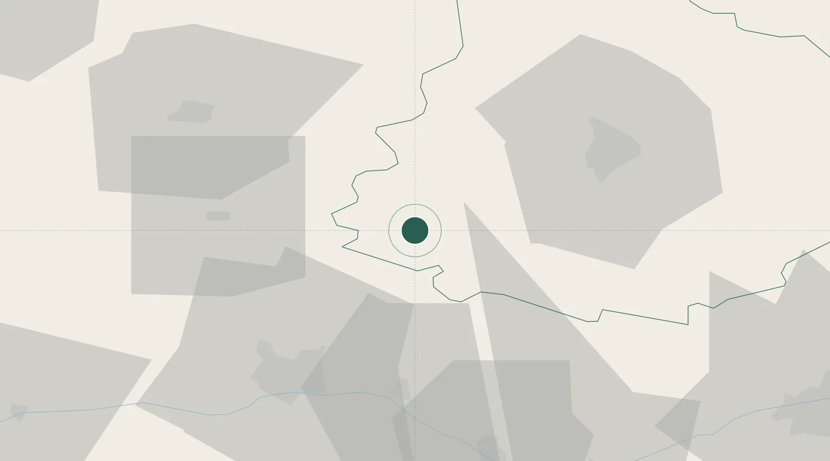
Location
Nearby Logistics Neighbours
Cities
- 1Parcé-sur-Sarthe5 km
- 2Solesmes7 km
- 3Morannes14 km
- 4Beaumont-Pied-de-Buf18 km
- 5La Flèche18 km
Ports
- 1Nantes119 km
- 2Donges147 km
- 3Montoir152 km
- 4Granville152 km
- 5Port De Caen154 km
Airports
- 1Angers Marcé airport27 km
- 2Le Mans-Arnage Airport38 km
- 3Laval-Entrammes Airport45 km
- 4Tours Val de Loire Airport84 km
- 5Rennes-Saint-Jacques Airport115 km
Trade Zones
- 1ZFU Le Mans35 km
- 2ZFU Angers44 km
- 3ZFU Alençon74 km
- 4ZFU Blois116 km
- 5ZFU Nantes et Saint-Herblain126 km
DatabookThe Record of Consolidated Knowledge
France beyond logistics?