Transport Functions
Multimodal
Hub Profile
Region
53
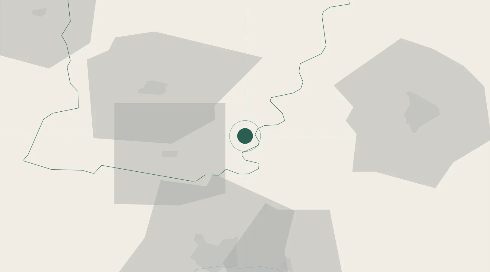
Location
Nearby Logistics Neighbours
Cities
- 1Ballée4 km
- 2Solesmes11 km
- 3Morannes17 km
- 4Louailles18 km
- 5Parcé-sur-Sarthe19 km
Ports
- 1Nantes115 km
- 2Granville135 km
- 3Donges140 km
- 4Port De Caen143 km
- 5Saint-Malo144 km
Airports
- 1Laval-Entrammes Airport27 km
- 2Angers Marcé airport39 km
- 3Le Mans-Arnage Airport48 km
- 4Rennes-Saint-Jacques Airport99 km
- 5Tours Val de Loire Airport101 km
Trade Zones
- 1ZFU Le Mans43 km
- 2ZFU Angers48 km
- 3ZFU Alençon70 km
- 4ZFU Nantes et Saint-Herblain121 km
- 5ZFU Blois132 km
DatabookThe Record of Consolidated Knowledge
France beyond logistics?