Transport Functions
Port
Rail
Road
Hub Profile
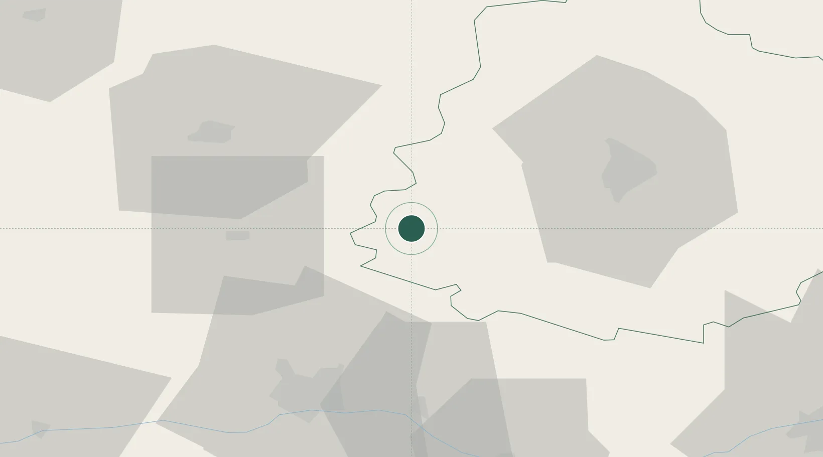
Place type
Populated place
Region
Pays de la Loire
Population
1,325
Time zone
Europe/Paris
Elevation
41 m
Location
Nearby Logistics Neighbours
Cities
- 1Louailles7 km
- 2Parcé-sur-Sarthe8 km
- 3Beaumont-Pied-de-Buf11 km
- 4Ballée13 km
- 5Morannes14 km
Ports
- 1Nantes120 km
- 2Granville146 km
- 3Donges146 km
- 4Port De Caen148 km
- 5Montoir151 km
Airports
- 1Angers Marcé airport32 km
- 2Laval-Entrammes Airport39 km
- 3Le Mans-Arnage Airport39 km
- 4Tours Val de Loire Airport90 km
- 5Rennes-Saint-Jacques Airport110 km
Trade Zones
- 1ZFU Le Mans35 km
- 2ZFU Angers47 km
- 3ZFU Alençon70 km
- 4ZFU Blois121 km
- 5ZFU Nantes et Saint-Herblain126 km
DatabookThe Record of Consolidated Knowledge
France beyond logistics?