UN/LOCODE hub · France
FRRPH
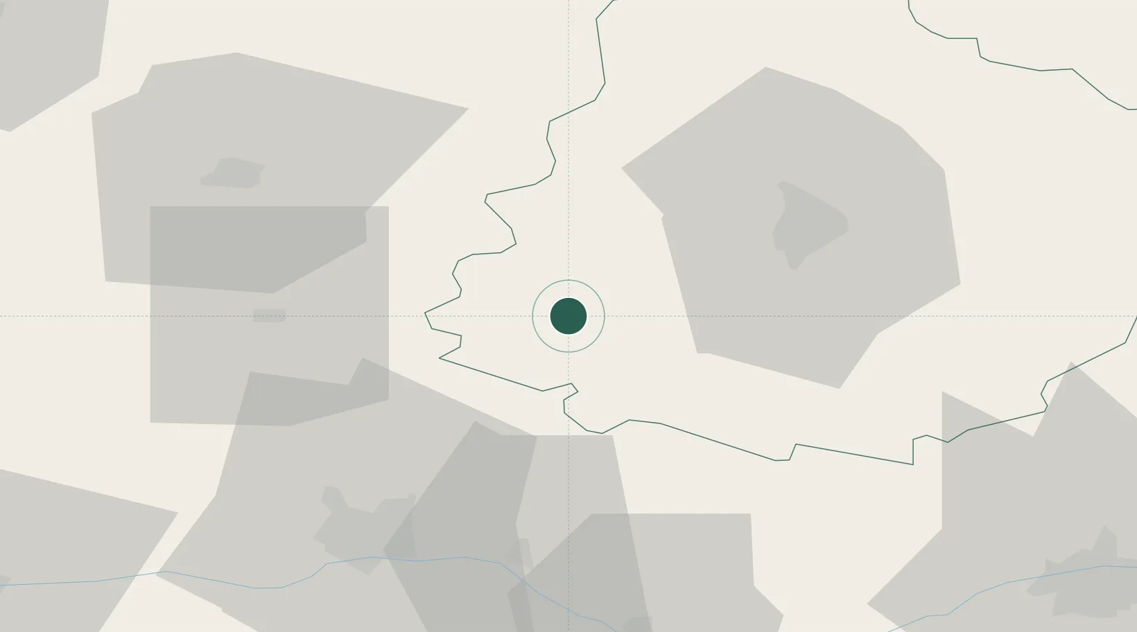
Parcé-sur-Sarthe
47.8333°, -0.2000°
1,891
Population
1
Transport functions
Transport Functions
Multimodal
Hub Profile
Place type
Populated place
Region
Pays de la Loire
Population
1,891
Time zone
Europe/Paris
Elevation
46 m
Location
Nearby Logistics Neighbours
Cities
- 1Louailles5 km
- 2Solesmes8 km
- 3La Flèche18 km
- 4Morannes19 km
- 5Beaumont-Pied-de-Buf19 km
Ports
- 1Nantes125 km
- 2Port De Caen151 km
- 3Granville152 km
- 4Donges152 km
- 5Montoir157 km
Airports
- 1Angers Marcé airport32 km
- 2Le Mans-Arnage Airport33 km
- 3Laval-Entrammes Airport46 km
- 4Tours Val de Loire Airport83 km
- 5Rennes-Saint-Jacques Airport117 km
Trade Zones
- 1ZFU Le Mans29 km
- 2ZFU Angers49 km
- 3ZFU Alençon70 km
- 4ZFU Blois114 km
- 5ZFU Nantes et Saint-Herblain131 km
DatabookThe Record of Consolidated Knowledge
France beyond logistics?