Transport Functions
Port
Road
Hub Profile
Region
28
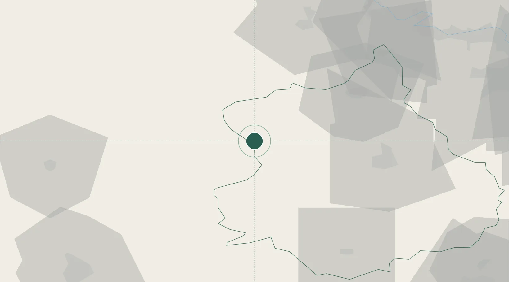
Location
Nearby Logistics Neighbours
Cities
- 1La Grande Motte10 km
- 2Longny-au-Perche15 km
- 3L'Hôme-Chamondot18 km
- 4Courville-sur-Eure22 km
- 5Thiron-Gardais24 km
Ports
- 1Port Of Rouen102 km
- 2Honfleur112 km
- 3Deauville112 km
- 4Port De Caen119 km
- 5Ouistreham121 km
Airports
Trade Zones
- 1ZFU Dreux et Sainte-Gemme-Moronval40 km
- 2ZFU Évreux57 km
- 3ZFU Alençon65 km
- 4ZFU Mantes-la-Jolie76 km
- 5ZFU Trappes82 km
DatabookThe Record of Consolidated Knowledge
France beyond logistics?