Transport Functions
Rail
Road
Hub Profile
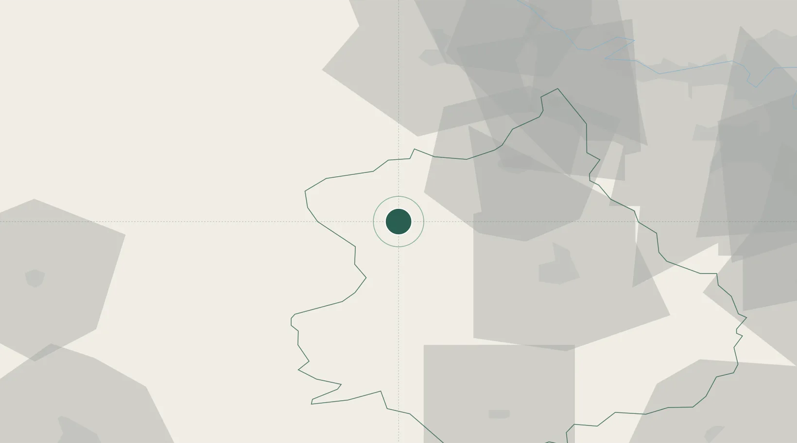
Place type
Populated place
Region
Centre-Val de Loire
Time zone
Europe/Paris
Elevation
207 m
Location
Nearby Logistics Neighbours
Cities
- 1L'Oserie10 km
- 2Courville-sur-Eure19 km
- 3Tremblay-les-Villages22 km
- 4La Madeleine-de-Nonancourt23 km
- 5Longny-au-Perche24 km
Ports
- 1Port Of Rouen96 km
- 2Honfleur112 km
- 3Deauville113 km
- 4Port Of Le Havre122 km
- 5Port De Caen123 km
Airports
Trade Zones
- 1ZFU Dreux et Sainte-Gemme-Moronval30 km
- 2ZFU Évreux50 km
- 3ZFU Mantes-la-Jolie65 km
- 4ZFU Trappes72 km
- 5ZFU Alençon75 km
DatabookThe Record of Consolidated Knowledge
France beyond logistics?