Transport Functions
Road
Multimodal
Hub Profile
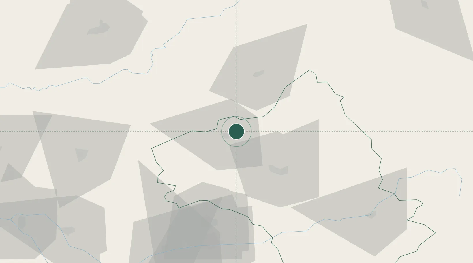
Place type
Populated place
Region
Occitanie
Time zone
Europe/Paris
Elevation
504 m
Location
Nearby Logistics Neighbours
Cities
- 1Cransac8 km
- 2Bagnac-sur-Célé15 km
- 3Goutrens15 km
- 4Le Fel16 km
- 5Valady18 km
Ports
- 1Sete172 km
- 2Port-La-Nouvelle184 km
- 3Bordeaux230 km
- 4Ambes230 km
- 5Port-Vendres239 km
Airports
- 1Rodez–Aveyron Airport24 km
- 2Aurillac airport35 km
- 3Cahors Lalbenque airport72 km
- 4Albi Le Sequestre airport76 km
- 5Brive Souillac airport83 km
Trade Zones
- 1ZFU Toulouse129 km
- 2ZFU Clermont-Ferrand147 km
- 3ZFU Béziers156 km
- 4ZFU Montpellier164 km
- 5ZFU Saint-Etienne182 km
DatabookThe Record of Consolidated Knowledge
France beyond logistics?