Transport Functions
Multimodal
Hub Profile
Place type
Populated place
Region
Occitanie
Time zone
Europe/Paris
Elevation
476 m
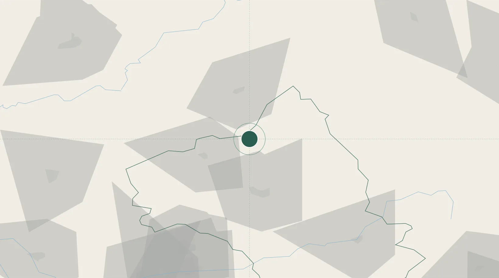
Location
Nearby Logistics Neighbours
Cities
- 1Entraygues-sur-Truyère5 km
- 2Campouriez10 km
- 3Prayssac16 km
- 4Cransac23 km
- 5Valady23 km
Ports
- 1Sete169 km
- 2Port-La-Nouvelle187 km
- 3Port Saint Louis Du Rhone233 km
- 4Fos235 km
- 5Port-de-Bouc242 km
Airports
- 1Rodez–Aveyron Airport27 km
- 2Aurillac airport28 km
- 3Mende-Brenoux Airfield83 km
- 4Albi Le Sequestre airport88 km
- 5Cahors Lalbenque airport88 km
Trade Zones
- 1ZFU Clermont-Ferrand134 km
- 2ZFU Toulouse144 km
- 3ZFU Béziers157 km
- 4ZFU Montpellier158 km
- 5ZFU Saint-Etienne165 km
DatabookThe Record of Consolidated Knowledge
France beyond logistics?