Transport Functions
Road
Multimodal
Hub Profile
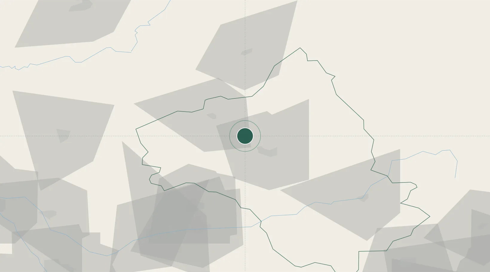
Place type
Populated place
Region
Occitanie
Population
1,361
Time zone
Europe/Paris
Elevation
327 m
Location
Nearby Logistics Neighbours
Cities
- 1Clairvaux-d'Aveyron4 km
- 2Goutrens5 km
- 3Rignac11 km
- 4Cransac14 km
- 5Rodez15 km
Ports
- 1Sete155 km
- 2Port-La-Nouvelle167 km
- 3Port-Vendres222 km
- 4Port Saint Louis Du Rhone225 km
- 5Fos227 km
Airports
- 1Rodez–Aveyron Airport6 km
- 2Aurillac airport49 km
- 3Albi Le Sequestre airport65 km
- 4Cahors Lalbenque airport77 km
- 5Mende-Brenoux Airfield87 km
Trade Zones
- 1ZFU Toulouse123 km
- 2ZFU Béziers139 km
- 3ZFU Montpellier147 km
- 4ZFU Clermont-Ferrand157 km
- 5ZFU Nîmes168 km
DatabookThe Record of Consolidated Knowledge
France beyond logistics?