Transport Functions
Rail
Road
Hub Profile
Region
12
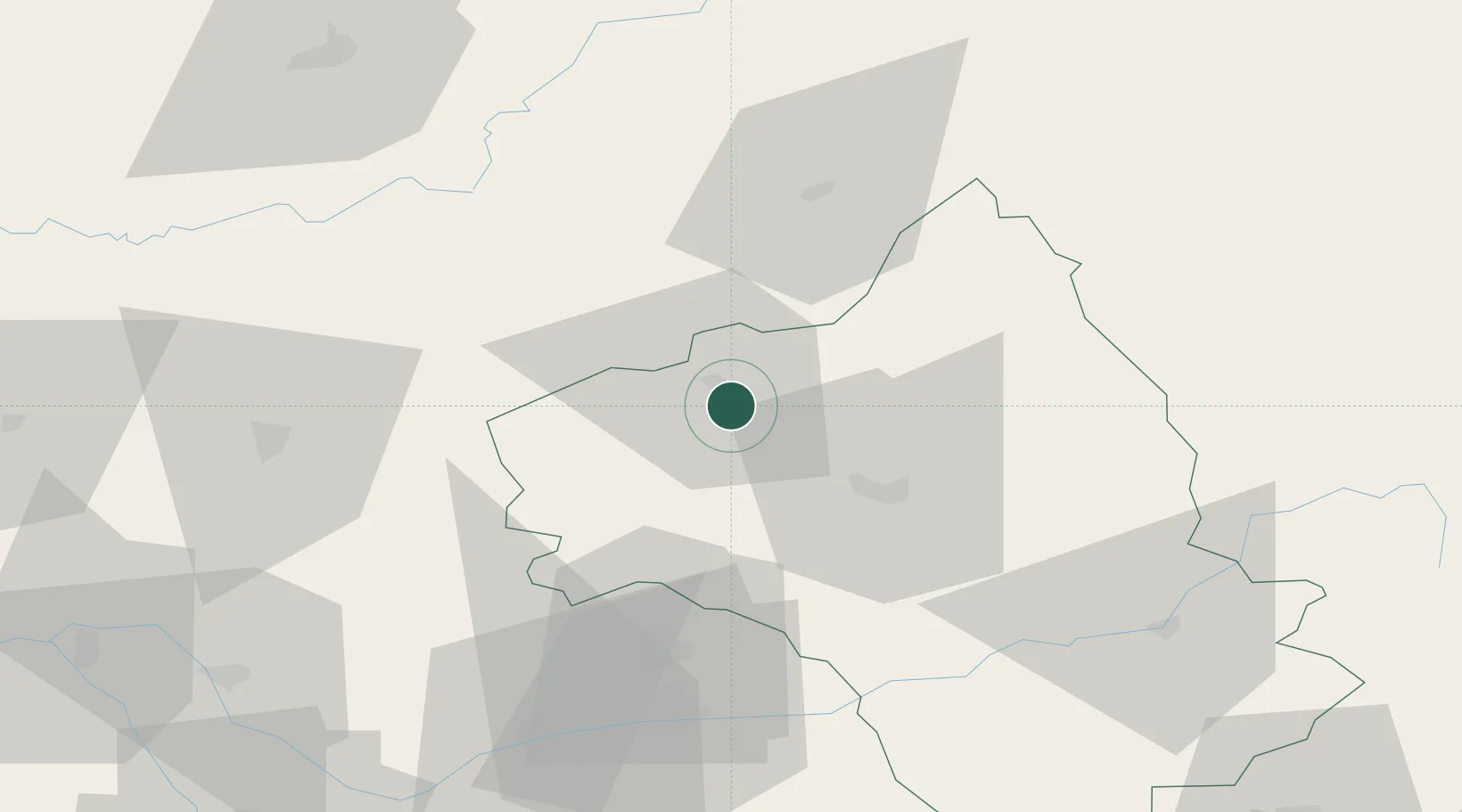
Location
Nearby Logistics Neighbours
Cities
- 1Prayssac8 km
- 2Goutrens10 km
- 3Rignac11 km
- 4Valady14 km
- 5Clairvaux-d'Aveyron15 km
Ports
- 1Sete168 km
- 2Port-La-Nouvelle178 km
- 3Bordeaux229 km
- 4Ambes229 km
- 5Port-Vendres232 km
Airports
- 1Rodez–Aveyron Airport20 km
- 2Aurillac airport43 km
- 3Cahors Lalbenque airport67 km
- 4Albi Le Sequestre airport68 km
- 5Brive Souillac airport86 km
Trade Zones
- 1ZFU Toulouse122 km
- 2ZFU Béziers151 km
- 3ZFU Clermont-Ferrand154 km
- 4ZFU Montpellier161 km
- 5ZFU Nîmes182 km
DatabookThe Record of Consolidated Knowledge
France beyond logistics?