Transport Functions
Rail
Road
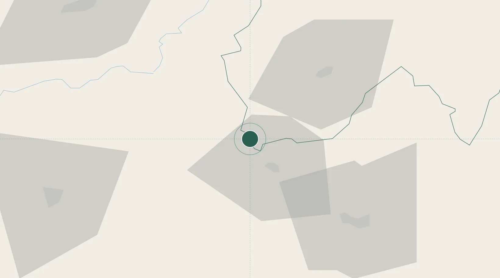
Hub Profile
Place type
Populated place
Region
Occitanie
Population
1,562
Time zone
Europe/Paris
Elevation
233 m
Location
Nearby Logistics Neighbours
Cities
- 1Prayssac15 km
- 2Capdenac-Gare15 km
- 3Béduer18 km
- 4Cransac19 km
- 5Le Rouget21 km
Ports
- 1Sete187 km
- 2Port-La-Nouvelle197 km
- 3Ambes216 km
- 4Bordeaux217 km
- 5Blaye229 km
Airports
- 1Aurillac airport32 km
- 2Rodez–Aveyron Airport38 km
- 3Cahors Lalbenque airport65 km
- 4Brive Souillac airport68 km
- 5Albi Le Sequestre airport84 km
Trade Zones
- 1ZFU Toulouse132 km
- 2ZFU Clermont-Ferrand144 km
- 3ZFU Béziers170 km
- 4ZFU Montpellier179 km
- 5ZFU Saint-Etienne187 km
DatabookThe Record of Consolidated Knowledge
France beyond logistics?