Transport Functions
Multimodal
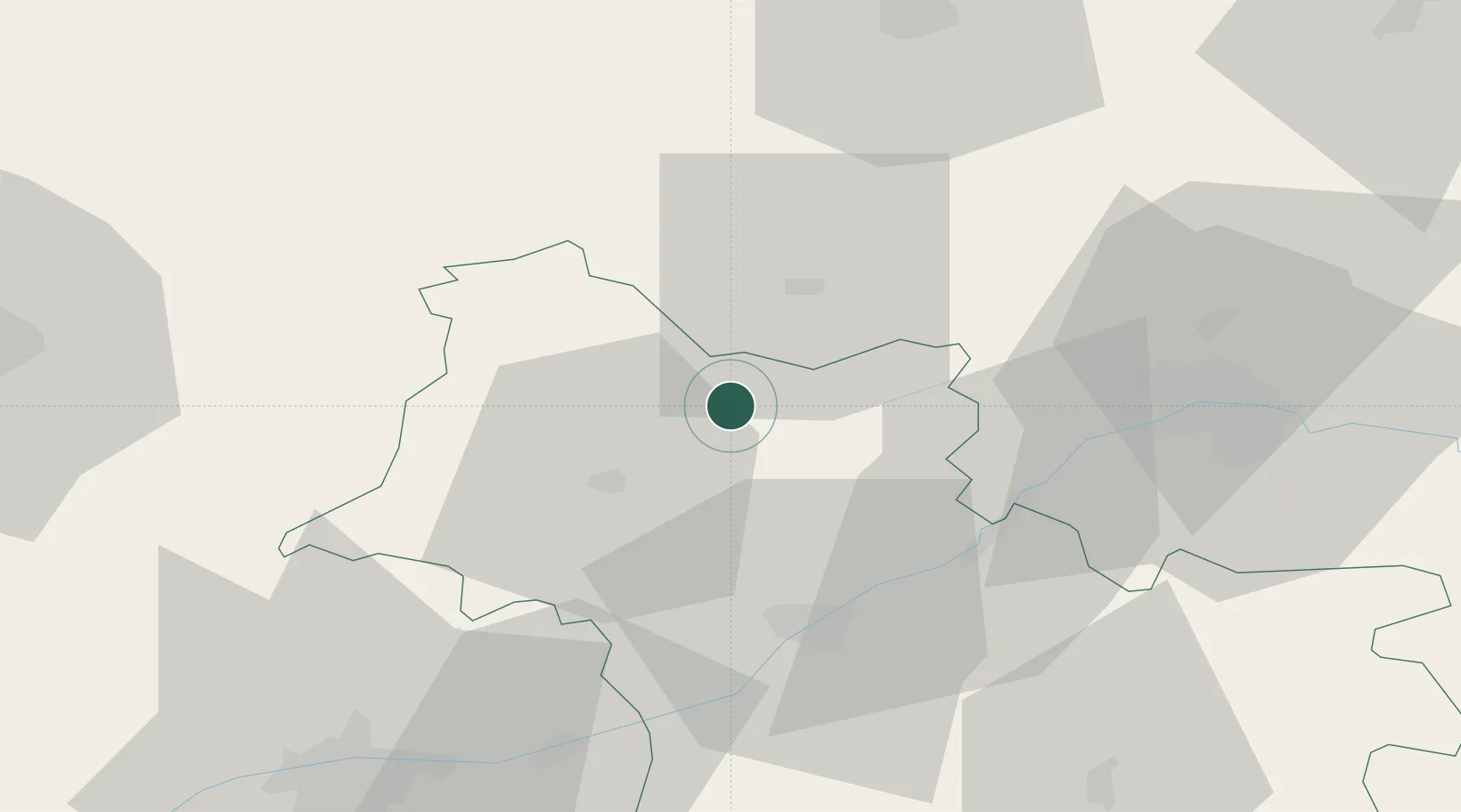
Hub Profile
Place type
Populated place
Region
Centre-Val de Loire
Population
1,041
Time zone
Europe/Paris
Elevation
97 m
Location
Nearby Logistics Neighbours
Cities
- 1Saint-Jean-Froidmentel6 km
- 2Saint-Firmin-des-Prés11 km
- 3Coulommiers-la-Tour15 km
- 4Maves19 km
- 5Châteaudun20 km
Ports
- 1Port Of Rouen173 km
- 2Deauville184 km
- 3Port De Caen184 km
- 4Honfleur184 km
- 5Ouistreham189 km
Airports
- 1Châteaudun Airfield21 km
- 2Orléans-Bricy (BA 123) Air Base41 km
- 3Tours Val de Loire Airport64 km
- 4Le Mans-Arnage Airport77 km
- 5Toussus-le-Noble Airport115 km
Trade Zones
- 1ZFU Blois36 km
- 2ZFU Orléans46 km
- 3ZFU Le Mans83 km
- 4ZFU Dreux et Sainte-Gemme-Moronval95 km
- 5ZFU Alençon104 km
DatabookThe Record of Consolidated Knowledge
France beyond logistics?