UN/LOCODE hub · France
FRQLF
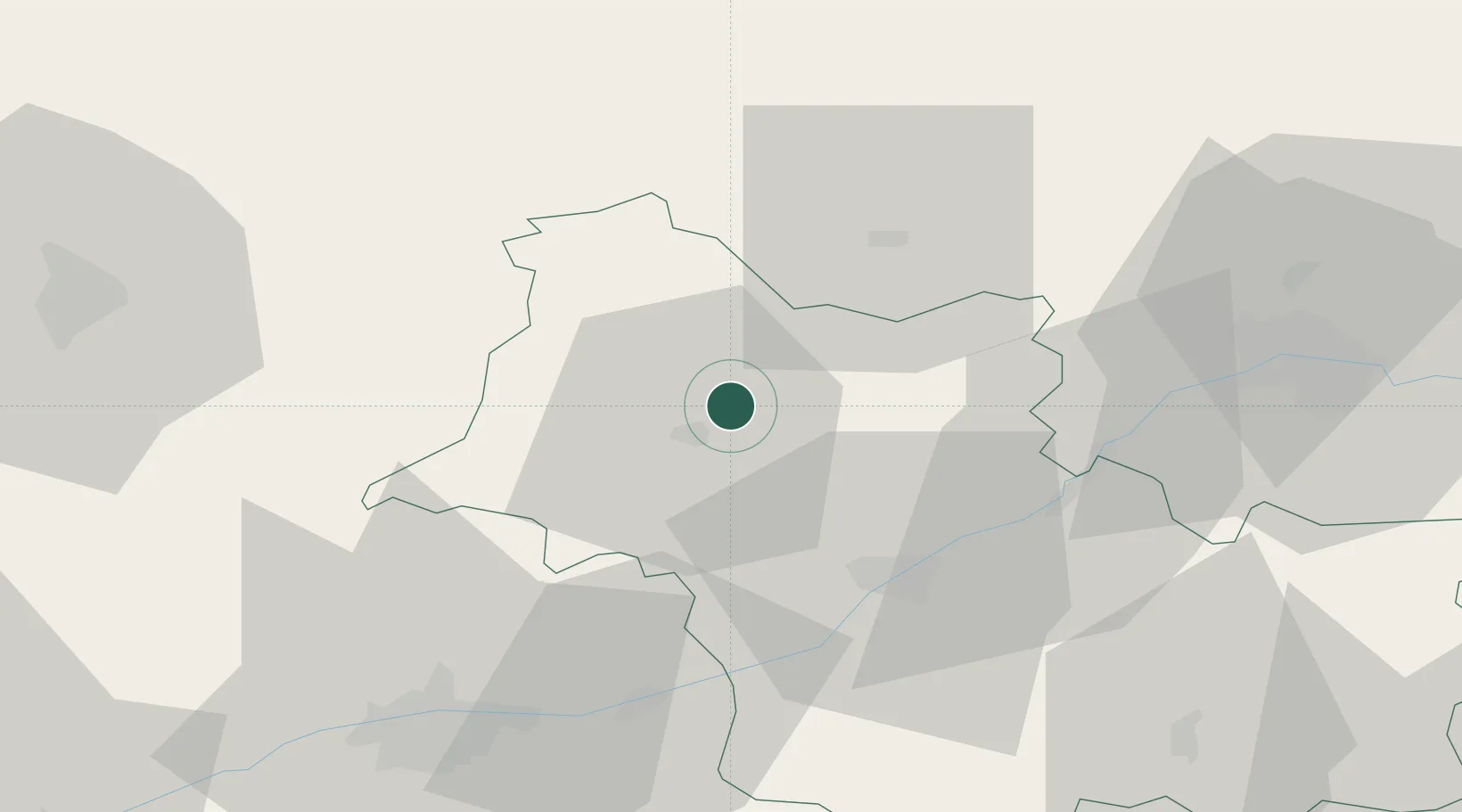
Saint-Firmin-des-Prés
47.8333°, 1.1167°
888
Population
3
Transport functions
Transport Functions
Rail
Road
Multimodal
Hub Profile
Place type
Populated place
Region
Centre-Val de Loire
Population
888
Time zone
Europe/Paris
Elevation
85 m
Location
Nearby Logistics Neighbours
Cities
- 1Coulommiers-la-Tour6 km
- 2Villiers-sur-Loir10 km
- 3Sainte-Anne10 km
- 4Morée11 km
- 5Saint-Jean-Froidmentel16 km
Ports
- 1Port Of Rouen180 km
- 2Port De Caen185 km
- 3Deauville187 km
- 4Honfleur188 km
- 5Ouistreham190 km
Airports
- 1Châteaudun Airfield32 km
- 2Orléans-Bricy (BA 123) Air Base51 km
- 3Tours Val de Loire Airport53 km
- 4Le Mans-Arnage Airport69 km
- 5Angers Marcé airport111 km
Trade Zones
- 1ZFU Blois30 km
- 2ZFU Orléans54 km
- 3ZFU Le Mans76 km
- 4ZFU Alençon102 km
- 5ZFU Dreux et Sainte-Gemme-Moronval104 km
DatabookThe Record of Consolidated Knowledge
France beyond logistics?