Transport Functions
Multimodal
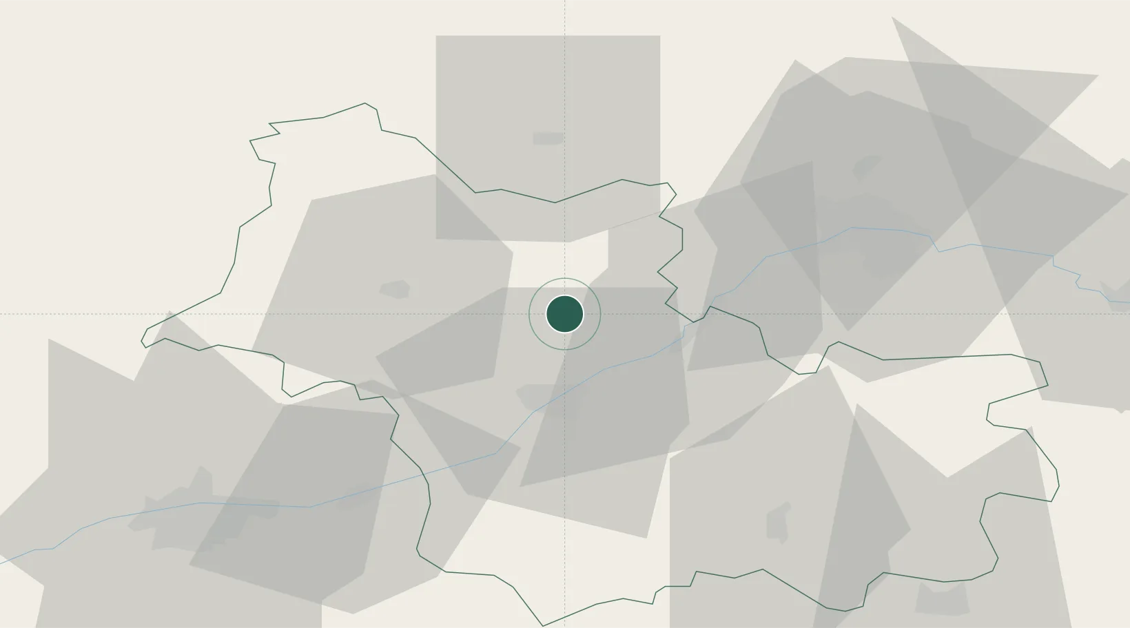
Hub Profile
Place type
Populated place
Region
Centre-Val de Loire
Population
606
Time zone
Europe/Paris
Elevation
113 m
Location
Nearby Logistics Neighbours
Cities
- 1Mer11 km
- 2Montlivault14 km
- 3Saint-Claude-de-Diray15 km
- 4Muides-sur-Loire16 km
- 5Maslives16 km
Ports
- 1Port Of Rouen190 km
- 2Deauville203 km
- 3Port De Caen204 km
- 4Honfleur204 km
- 5Ouistreham208 km
Airports
- 1Châteaudun Airfield34 km
- 2Orléans-Bricy (BA 123) Air Base40 km
- 3Tours Val de Loire Airport60 km
- 4Le Mans-Arnage Airport90 km
- 5Châteauroux Déols airport103 km
Trade Zones
- 1ZFU Blois20 km
- 2ZFU Orléans38 km
- 3ZFU Le Mans96 km
- 4ZFU Bourges104 km
- 5ZFU Dreux et Sainte-Gemme-Moronval111 km
DatabookThe Record of Consolidated Knowledge
France beyond logistics?