UN/LOCODE hub · France
FRJF4
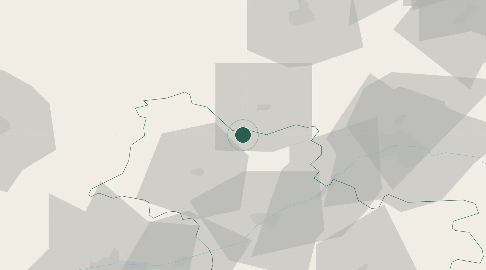
Saint-Jean-Froidmentel
47.9500°, 1.2500°
448
Population
2
Transport functions
Transport Functions
Rail
Road
Hub Profile
Place type
Populated place
Region
Centre-Val de Loire
Population
448
Time zone
Europe/Paris
Elevation
96 m
Location
Nearby Logistics Neighbours
Cities
- 1Morée6 km
- 2Châteaudun14 km
- 3Saint-Firmin-des-Prés16 km
- 4Coulommiers-la-Tour21 km
- 5Maves24 km
Ports
- 1Port Of Rouen167 km
- 2Deauville179 km
- 3Honfleur180 km
- 4Port De Caen181 km
- 5Ouistreham185 km
Airports
- 1Châteaudun Airfield15 km
- 2Orléans-Bricy (BA 123) Air Base38 km
- 3Tours Val de Loire Airport70 km
- 4Le Mans-Arnage Airport78 km
- 5Toussus-le-Noble Airport109 km
Trade Zones
- 1ZFU Blois41 km
- 2ZFU Orléans45 km
- 3ZFU Le Mans84 km
- 4ZFU Dreux et Sainte-Gemme-Moronval89 km
- 5ZFU Alençon102 km
DatabookThe Record of Consolidated Knowledge
France beyond logistics?