Transport Functions
Multimodal
Hub Profile
Place type
Populated place
Region
Pays de la Loire
Population
1,517
Time zone
Europe/Paris
Elevation
119 m
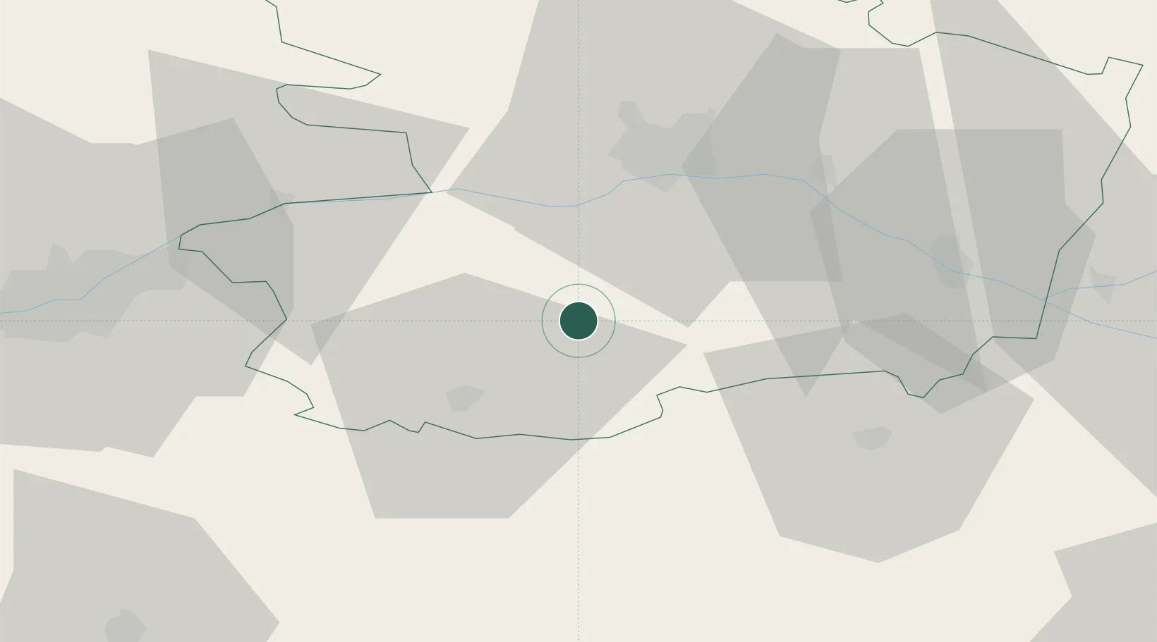
Location
Nearby Logistics Neighbours
Cities
- 1Chemillé5 km
- 2Valanjou8 km
- 3Chanzeaux10 km
- 4Montilliers14 km
- 5Saint-Paul-du-Bois15 km
Ports
- 1Nantes67 km
- 2Donges105 km
- 3Montoir110 km
- 4Les Sables D' Olonne114 km
- 5St Nazaire115 km
Airports
Trade Zones
- 1ZFU Angers34 km
- 2ZFU Nantes et Saint-Herblain77 km
- 3ZFU Le Mans108 km
- 4ZFU La Rochelle121 km
- 5ZFU Saint-Nazaire121 km
DatabookThe Record of Consolidated Knowledge
France beyond logistics?