Transport Functions
Multimodal
Hub Profile
Place type
Populated place
Region
Pays de la Loire
Population
995
Time zone
Europe/Paris
Elevation
65 m
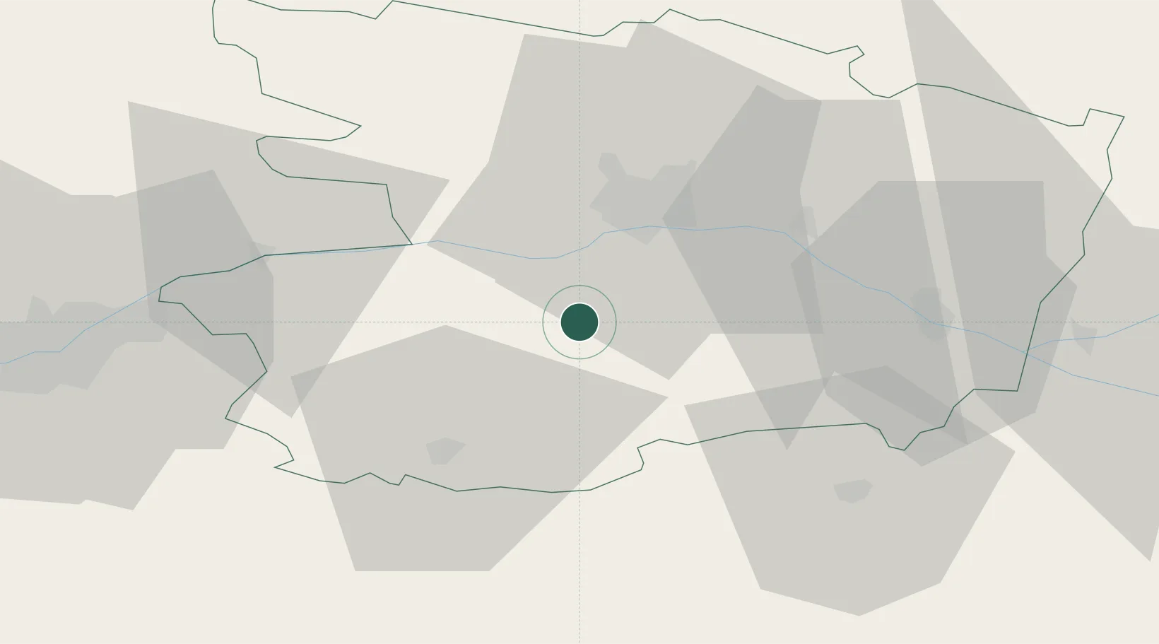
Location
Nearby Logistics Neighbours
Cities
- 1Beaulieu-sur-Layon8 km
- 2Valanjou8 km
- 3Chaudefonds-sur-Layon8 km
- 4Chemillé8 km
- 5Melay10 km
Ports
- 1Nantes70 km
- 2Donges107 km
- 3Montoir112 km
- 4St Nazaire117 km
- 5Les Sables D' Olonne122 km
Airports
Trade Zones
- 1ZFU Angers24 km
- 2ZFU Nantes et Saint-Herblain79 km
- 3ZFU Le Mans99 km
- 4ZFU Saint-Nazaire123 km
- 5ZFU La Rochelle130 km
DatabookThe Record of Consolidated Knowledge
France beyond logistics?