Transport Functions
Road
Multimodal
Hub Profile
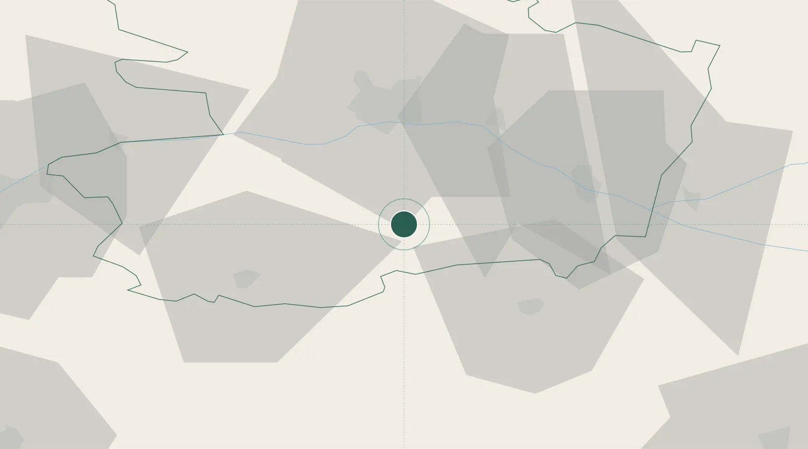
Place type
Populated place
Region
Pays de la Loire
Time zone
Europe/Paris
Elevation
95 m
Location
Nearby Logistics Neighbours
Cities
- 1Valanjou7 km
- 2Bellevigne-en-Layon9 km
- 3Saint-Georges-sur-Layon10 km
- 4Passavant-sur-Layon12 km
- 5Saint-Paul-du-Bois12 km
Ports
- 1Nantes81 km
- 2Donges119 km
- 3Montoir124 km
- 4Les Sables D' Olonne125 km
- 5La Rochelle125 km
Airports
Trade Zones
- 1ZFU Angers34 km
- 2ZFU Nantes et Saint-Herblain91 km
- 3ZFU Le Mans100 km
- 4ZFU La Rochelle126 km
- 5ZFU Saint-Nazaire134 km
DatabookThe Record of Consolidated Knowledge
France beyond logistics?