Transport Functions
Rail
Road
Hub Profile
Region
49
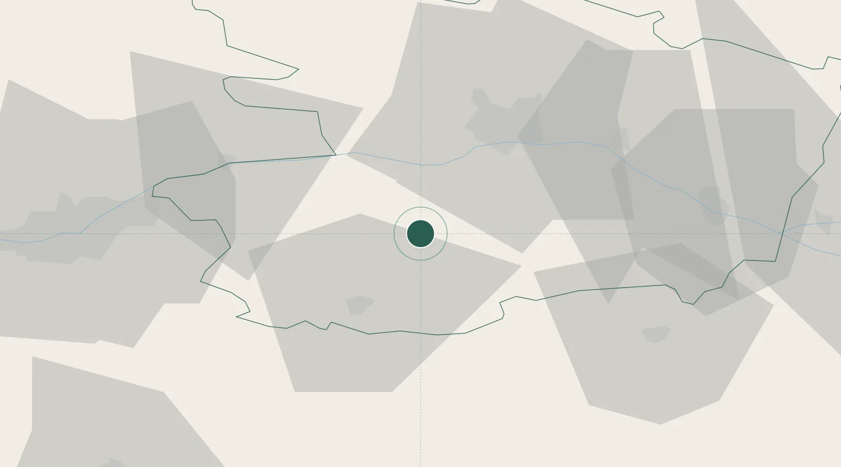
Location
Nearby Logistics Neighbours
Cities
- 1Melay5 km
- 2Chanzeaux8 km
- 3Valanjou11 km
- 4Chaudefonds-sur-Layon13 km
- 5La Jubaudière14 km
Ports
- 1Nantes63 km
- 2Donges101 km
- 3Montoir106 km
- 4St Nazaire111 km
- 5Les Sables D' Olonne114 km
Airports
Trade Zones
- 1ZFU Angers31 km
- 2ZFU Nantes et Saint-Herblain73 km
- 3ZFU Le Mans107 km
- 4ZFU Saint-Nazaire117 km
- 5ZFU La Rochelle123 km
DatabookThe Record of Consolidated Knowledge
France beyond logistics?