UN/LOCODE hub · France
FRCYT
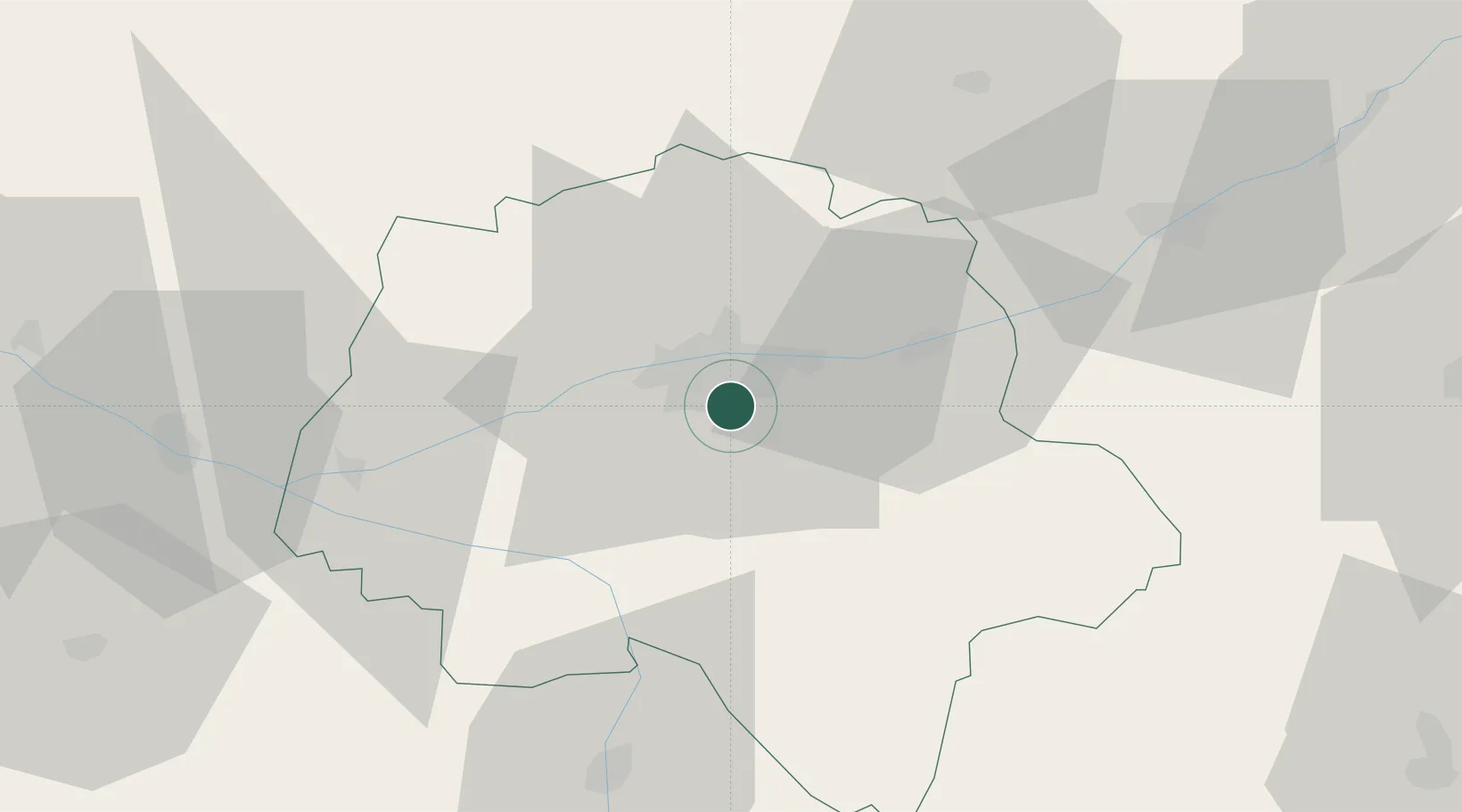
Chambray-lès-Tours
47.3333°, 0.7167°
10,910
Population
2
Transport functions
Transport Functions
Road
Multimodal
Hub Profile
Place type
Populated place
Region
Centre-Val de Loire
Population
10,910
Time zone
Europe/Paris
Elevation
89 m
Location
Nearby Logistics Neighbours
Ports
- 1Nantes173 km
- 2La Rochelle194 km
- 3La Pallice196 km
- 4Tonnay Charente199 km
- 5Rochefort201 km
Airports
- 1Tours Val de Loire Airport11 km
- 2Le Mans-Arnage Airport79 km
- 3Angers Marcé airport81 km
- 4Poitiers-Biard Airport89 km
- 5Châteauroux Déols airport93 km
Trade Zones
- 1ZFU Blois50 km
- 2ZFU Le Mans85 km
- 3ZFU Angers100 km
- 4ZFU Orléans104 km
- 5ZFU Bourges125 km
DatabookThe Record of Consolidated Knowledge
France beyond logistics?