UN/LOCODE hub · France
FRMUB
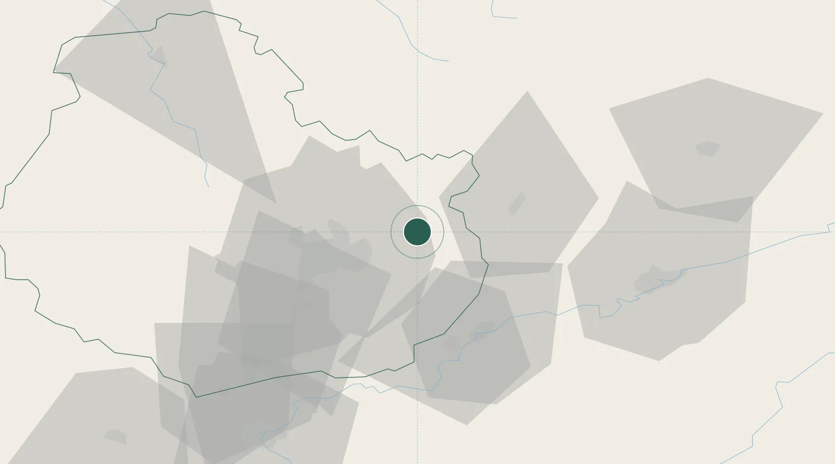
Mirebeau-sur-Bèze
47.3833°, 5.3167°
1,639
Population
2
Transport functions
Transport Functions
Road
Multimodal
Hub Profile
Place type
Populated place
Region
Bourgogne
Population
1,639
Time zone
Europe/Paris
Elevation
201 m
Location
Nearby Logistics Neighbours
Cities
- 1Belleneuve4 km
- 2Blagny-sur-Vingeanne7 km
- 3Cirey-lès-Pontailler9 km
- 4Vonges11 km
- 5Brognon11 km
Ports
- 1Port Of Rouen389 km
- 2Bruxelles394 km
- 3Saint-Valery-Sur-Somme413 km
- 4Le Treport416 km
- 5Dieppe421 km
Airports
Trade Zones
- 1ZFU Chenôve27 km
- 2ZFU Besancon55 km
- 3ZFU Montbéliard111 km
- 4ZFU Belfort116 km
- 5PESA - Port-Franc et Entrepôts de Lausanne-Chavornay SA121 km
DatabookThe Record of Consolidated Knowledge
France beyond logistics?