UN/LOCODE hub · France
FRTNW

Cirey-lès-Pontailler

47.3000°, 5.3000°
119
Population
1
Transport functions

Transport Functions

Multimodal
UN/LOCODE

Hub Profile

Place type
Populated place
GeoNames
Region
Bourgogne
GeoNames
Population
119
GeoNames
Time zone
Europe/Paris
GeoNames
Elevation
208 m
GeoNames

Location

Location of FRTNW
Natural Earth 10m (public domain) · Bourgogne · FRTNW · 47.30, 5.30GoogleOSMYandex

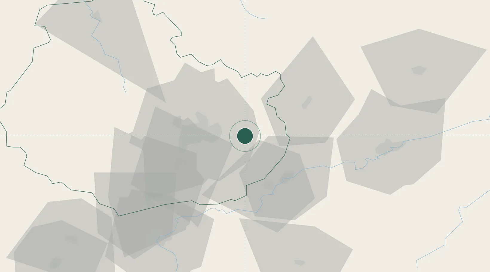
Nearby Logistics Neighbours

Cities
  1. 1Vonges8 km
  2. 2Belleneuve8 km
  3. 3Mirebeau-sur-Bèze9 km
  4. 4Villers-les-Pots10 km
  5. 5Fauverney13 km
Nearest neighbours — logibook spatial index (haversine) over the source coordinates
Ports
  1. 1Port Of Rouen394 km
  2. 2Bruxelles403 km
  3. 3Savona414 km
  4. 4Rada Di Vado417 km
  5. 5Saint-Valery-Sur-Somme419 km
Nearest neighbours — logibook spatial index (haversine) over the source coordinates
Airports
  1. 1Dijon Longvic airport16 km
  2. 2Dole Tavaux Airport31 km
  3. 3Vesoul-Frotey Airfield78 km
  4. 4Luxeuil-Saint-Sauveur (BA 116) Air Base96 km
  5. 5Montbéliard-Courcelles Airfield114 km
Nearest neighbours — logibook spatial index (haversine) over the source coordinates
Trade Zones
  1. 1ZFU Chenôve24 km
  2. 2ZFU Besancon54 km
  3. 3ZFU Montbéliard114 km
  4. 4PESA - Port-Franc et Entrepôts de Lausanne-Chavornay SA116 km
  5. 5ZFU Belfort120 km
Nearest neighbours — logibook spatial index (haversine) over the source coordinates
DatabookThe Record of Consolidated Knowledge
France beyond logistics?
Browse databook

All Sources

LocationsUN/LOCODE
UN/LOCODE — free
LocationsGeoNames
CC BY 4.0
Portsthe NGA World Port Index
Public domain (US gov)
AirportsOurAirports
Public domain
Trade Zonesthe World Bank SEZ database
CC BY 4.0
Trade ZonesOpen Zone Map
CC BY
← France locations