Transport Functions
Road
Multimodal
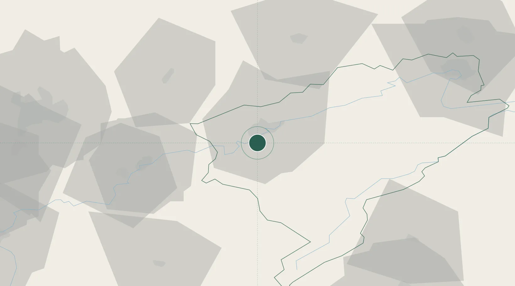
Hub Profile
Place type
Populated place
Region
Bourgogne
Population
690
Time zone
Europe/Paris
Elevation
386 m
Location
Nearby Logistics Neighbours
Cities
- 1Montferrand-le-Château4 km
- 2Chemaudin7 km
- 3Besançon8 km
- 4Vaux-les-Prés9 km
- 5Miserey-Salines11 km
Ports
- 1Savona374 km
- 2Rada Di Vado377 km
- 3Genova384 km
- 4Monaco400 km
- 5San Remo400 km
Airports
- 1Dole Tavaux Airport45 km
- 2Vesoul-Frotey Airfield53 km
- 3Les Eplatures Airport62 km
- 4Dijon Longvic airport68 km
- 5Montbéliard-Courcelles Airfield70 km
Trade Zones
- 1ZFU Besancon6 km
- 2PESA - Port-Franc et Entrepôts de Lausanne-Chavornay SA69 km
- 3ZFU Montbéliard70 km
- 4ZFU Chenôve77 km
- 5ZFU Belfort81 km
DatabookThe Record of Consolidated Knowledge
France beyond logistics?