Transport Functions
Multimodal
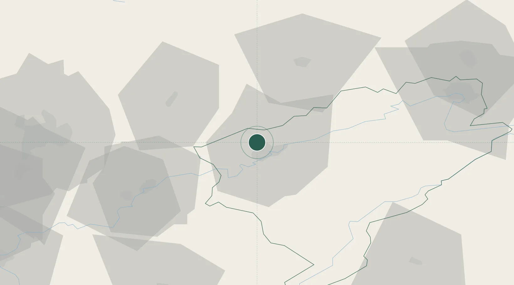
Hub Profile
Place type
Populated place
Region
Bourgogne
Population
2,252
Time zone
Europe/Paris
Elevation
287 m
Location
Nearby Logistics Neighbours
Cities
- 1Besançon6 km
- 2Devecey7 km
- 3Vaux-les-Prés8 km
- 4Thise9 km
- 5Chemaudin9 km
Ports
- 1Savona384 km
- 2Rada Di Vado387 km
- 3Genova394 km
- 4Monaco411 km
- 5San Remo411 km
Airports
Trade Zones
- 1ZFU Besancon6 km
- 2ZFU Montbéliard66 km
- 3ZFU Chenôve74 km
- 4ZFU Belfort75 km
- 5PESA - Port-Franc et Entrepôts de Lausanne-Chavornay SA78 km
DatabookThe Record of Consolidated Knowledge
France beyond logistics?