UN/LOCODE hub · France
FRMFU
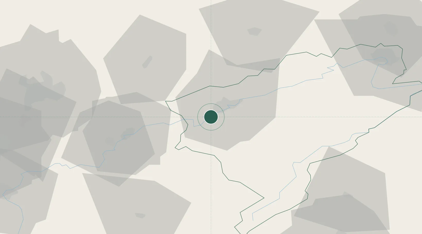
Montferrand-le-Château
47.1833°, 5.9333°
1,969
Population
2
Transport functions
Transport Functions
Road
Multimodal
Hub Profile
Place type
Populated place
Region
Bourgogne
Population
1,969
Time zone
Europe/Paris
Elevation
254 m
Location
Nearby Logistics Neighbours
Cities
- 1Pugey4 km
- 2Chemaudin5 km
- 3Vaux-les-Prés7 km
- 4Saint-Vit9 km
- 5Quingey10 km
Ports
- 1Savona376 km
- 2Rada Di Vado379 km
- 3Genova387 km
- 4Monaco401 km
- 5San Remo401 km
Airports
- 1Dole Tavaux Airport42 km
- 2Vesoul-Frotey Airfield55 km
- 3Dijon Longvic airport64 km
- 4Les Eplatures Airport66 km
- 5Montbéliard-Courcelles Airfield73 km
Trade Zones
- 1ZFU Besancon8 km
- 2PESA - Port-Franc et Entrepôts de Lausanne-Chavornay SA71 km
- 3ZFU Chenôve73 km
- 4ZFU Montbéliard74 km
- 5ZFU Belfort83 km
DatabookThe Record of Consolidated Knowledge
France beyond logistics?