Transport Functions
Multimodal
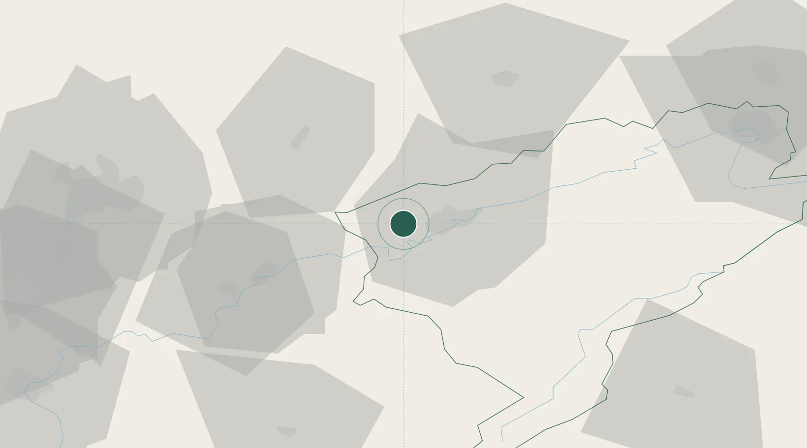
Hub Profile
Place type
Populated place
Region
Bourgogne
Population
358
Time zone
Europe/Paris
Elevation
280 m
Location
Nearby Logistics Neighbours
Cities
- 1Chemaudin2 km
- 2Montferrand-le-Château7 km
- 3Saint-Vit8 km
- 4Lantenne-Vertière8 km
- 5Miserey-Salines8 km
Ports
- 1Savona383 km
- 2Rada Di Vado386 km
- 3Genova393 km
- 4Monaco407 km
- 5San Remo408 km
Airports
Trade Zones
- 1ZFU Besancon10 km
- 2ZFU Chenôve68 km
- 3ZFU Montbéliard74 km
- 4PESA - Port-Franc et Entrepôts de Lausanne-Chavornay SA78 km
- 5ZFU Belfort83 km
DatabookThe Record of Consolidated Knowledge
France beyond logistics?