Transport Functions
Port
Rail
Road
Postal
Hub Profile
Place type
Provincial seat
Region
Bourgogne
Population
128,426
Time zone
Europe/Paris
Elevation
300 m
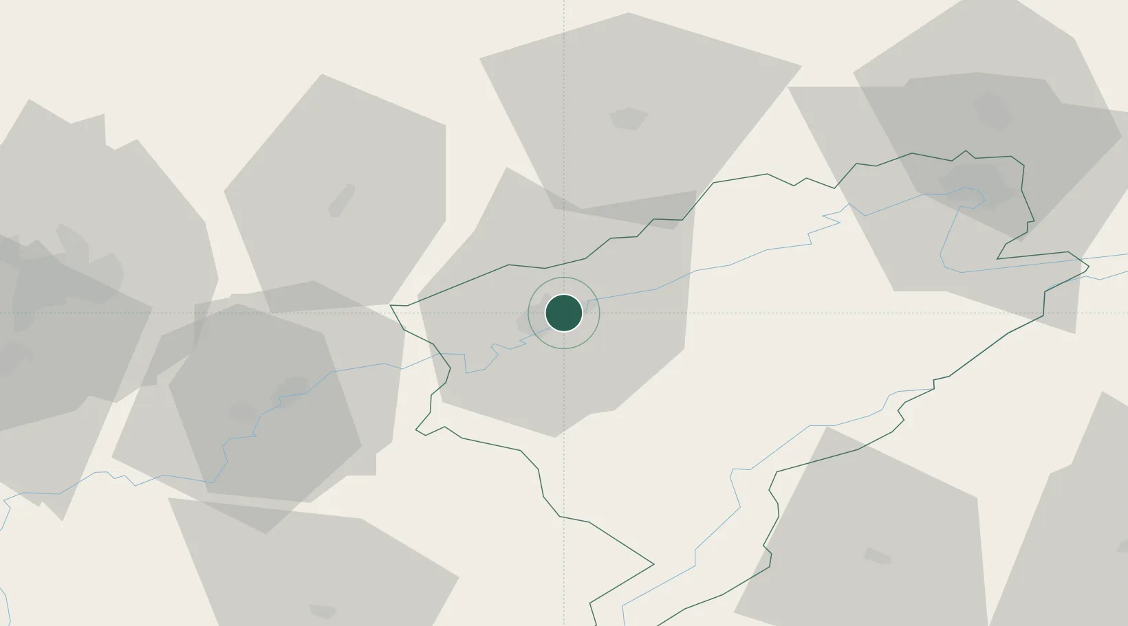
Location
Nearby Logistics Neighbours
Cities
- 1Chalezeule4 km
- 2Thise5 km
- 3Miserey-Salines6 km
- 4Pugey8 km
- 5Novillars8 km
Ports
- 1Savona378 km
- 2Rada Di Vado381 km
- 3Genova388 km
- 4San Remo405 km
- 5Imperia405 km
Airports
Trade Zones
- 1ZFU Besancon2 km
- 2ZFU Montbéliard63 km
- 3PESA - Port-Franc et Entrepôts de Lausanne-Chavornay SA72 km
- 4ZFU Belfort73 km
- 5ZFU Chenôve79 km
DatabookThe Record of Consolidated Knowledge
France beyond logistics?