Transport Functions
Rail
Road
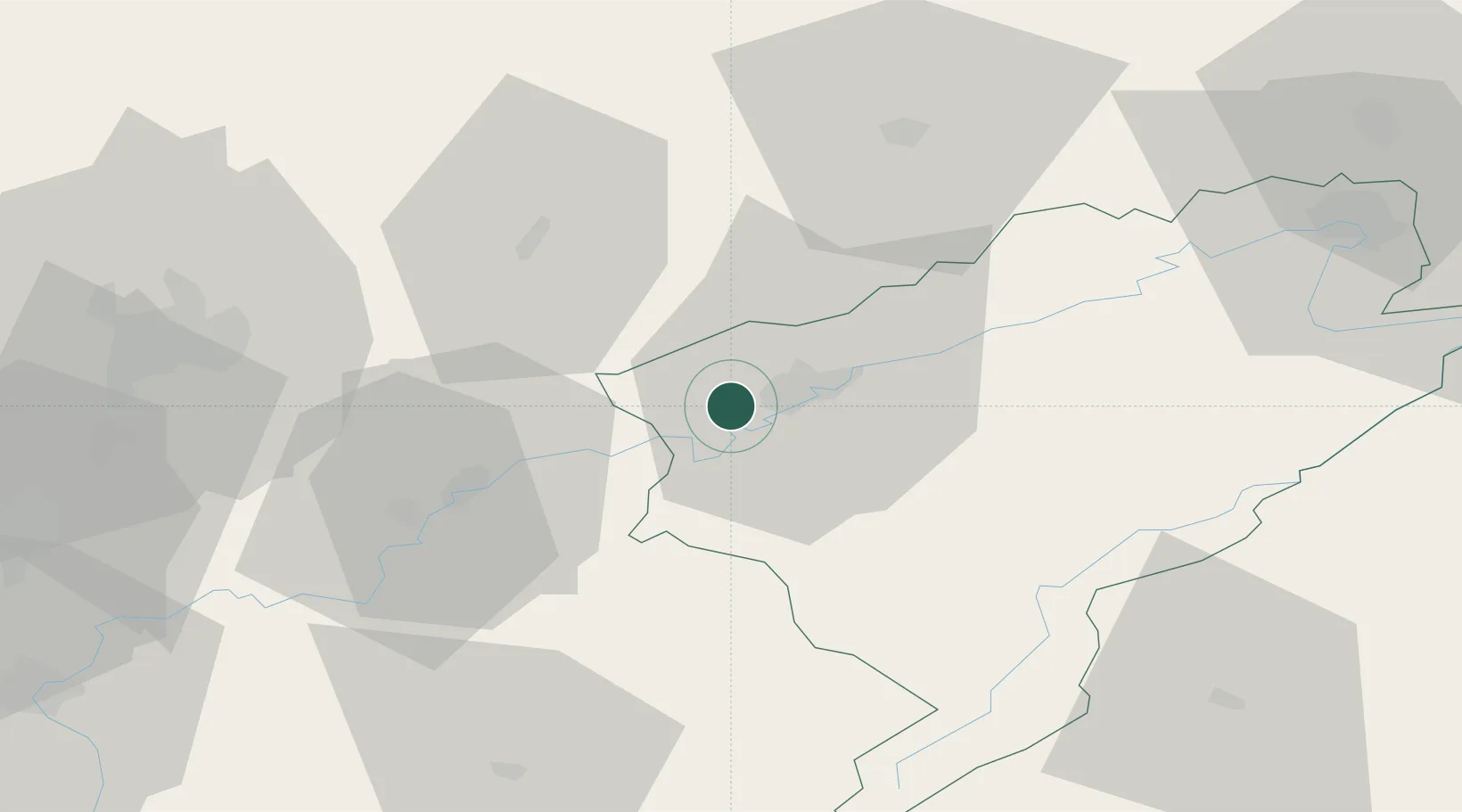
Hub Profile
Place type
Populated place
Region
Bourgogne
Population
1,270
Time zone
Europe/Paris
Elevation
277 m
Location
Nearby Logistics Neighbours
Cities
- 1Vaux-les-Prés2 km
- 2Montferrand-le-Château5 km
- 3Pugey7 km
- 4Saint-Vit7 km
- 5Miserey-Salines9 km
Ports
- 1Savona380 km
- 2Rada Di Vado383 km
- 3Genova391 km
- 4Monaco405 km
- 5San Remo406 km
Airports
Trade Zones
- 1ZFU Besancon9 km
- 2ZFU Chenôve70 km
- 3ZFU Montbéliard74 km
- 4PESA - Port-Franc et Entrepôts de Lausanne-Chavornay SA76 km
- 5ZFU Belfort83 km
DatabookThe Record of Consolidated Knowledge
France beyond logistics?