UN/LOCODE hub · France
FRXOT

Ottrott

48.4500°, 7.4333°
1,621
Population
1
Transport functions

Transport Functions

Multimodal
UN/LOCODE

Hub Profile

Place type
Populated place
GeoNames
Region
Grand Est
GeoNames
Population
1,621
GeoNames
Time zone
Europe/Paris
GeoNames
Elevation
280 m
GeoNames

Location

Location of FRXOT
Natural Earth 10m (public domain) · Grand Est · FRXOT · 48.45, 7.43GoogleOSMYandex

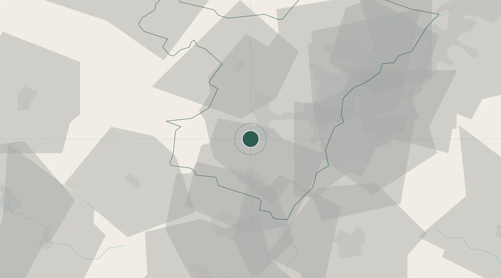
Nearby Logistics Neighbours

Cities
  1. 1Bernardswiller3 km
  2. 2Heiligenstein4 km
  3. 3Goxwiller4 km
  4. 4Mittelbergheim6 km
  5. 5Rosenwiller6 km
Nearest neighbours — logibook spatial index (haversine) over the source coordinates
Ports
  1. 1Bruxelles349 km
  2. 2Antwerpen377 km
  3. 3Ghent394 km
  4. 4Terneuzen414 km
  5. 5Hansweert414 km
Nearest neighbours — logibook spatial index (haversine) over the source coordinates
Airports
  1. 1Strasbourg Airport17 km
  2. 2Lahr Airport31 km
  3. 3Colmar Houssen airport38 km
  4. 4Phalsbourg-Bourscheid Air Base39 km
  5. 5Karlsruhe Baden-Baden Airport60 km
Nearest neighbours — logibook spatial index (haversine) over the source coordinates
Trade Zones
  1. 1ZFU Hautepierre25 km
  2. 2ZFU Neuhof26 km
  3. 3ZFU Mulhouse78 km
  4. 4ZFU La Cité Behren-lès-Forbach88 km
  5. 5ZFU Maxéville, Laxou, et de Nancy98 km
Nearest neighbours — logibook spatial index (haversine) over the source coordinates
DatabookThe Record of Consolidated Knowledge
France beyond logistics?
Browse databook

All Sources

LocationsUN/LOCODE
UN/LOCODE — free
LocationsGeoNames
CC BY 4.0
Portsthe NGA World Port Index
Public domain (US gov)
AirportsOurAirports
Public domain
Trade Zonesthe World Bank SEZ database
CC BY 4.0
Trade ZonesOpen Zone Map
CC BY
← France locations