Transport Functions
Multimodal
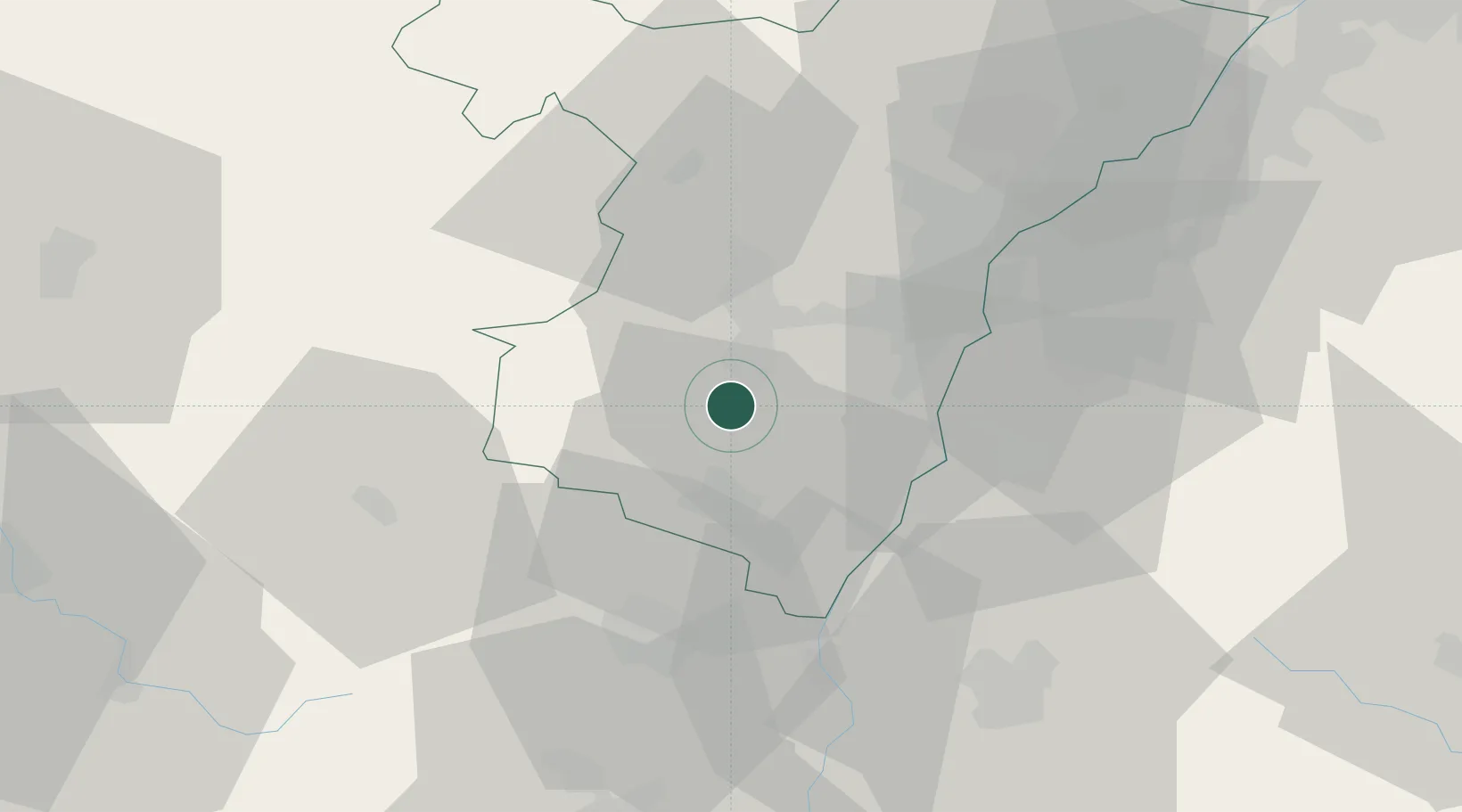
Hub Profile
Place type
Populated place
Region
Grand Est
Population
910
Time zone
Europe/Paris
Elevation
273 m
Location
Nearby Logistics Neighbours
Cities
- 1Gertwiller2 km
- 2Mittelbergheim2 km
- 3Goxwiller3 km
- 4Bernardswiller4 km
- 5Ottrott4 km
Airports
- 1Strasbourg Airport19 km
- 2Lahr Airport28 km
- 3Colmar Houssen airport35 km
- 4Phalsbourg-Bourscheid Air Base43 km
- 5Karlsruhe Baden-Baden Airport62 km
Trade Zones
- 1ZFU Hautepierre27 km
- 2ZFU Neuhof27 km
- 3ZFU Mulhouse75 km
- 4ZFU La Cité Behren-lès-Forbach92 km
- 5ZFU Belfort98 km
DatabookThe Record of Consolidated Knowledge
France beyond logistics?