Transport Functions
Rail
Road
Hub Profile
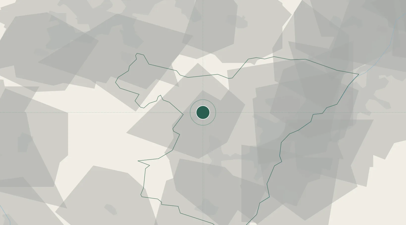
Place type
Populated place
Region
Grand Est
Population
1,939
Time zone
Europe/Paris
Elevation
193 m
Location
Nearby Logistics Neighbours
Cities
- 1Monswiller3 km
- 2Saverne5 km
- 3Bouxwiller9 km
- 4Hochfelden11 km
- 5Ingwiller12 km
Airports
- 1Phalsbourg-Bourscheid Air Base16 km
- 2Strasbourg Airport30 km
- 3Karlsruhe Baden-Baden Airport49 km
- 4Lahr Airport54 km
- 5Saarbrücken Airport55 km
Trade Zones
- 1ZFU Hautepierre28 km
- 2ZFU Neuhof36 km
- 3ZFU La Cité Behren-lès-Forbach57 km
- 4ZFU Maxéville, Laxou, et de Nancy92 km
- 5ZFU Metz99 km
DatabookThe Record of Consolidated Knowledge
France beyond logistics?