Transport Functions
Multimodal
Hub Profile
Place type
Populated place
Region
Centre-Val de Loire
Population
3,275
Time zone
Europe/Paris
Elevation
86 m
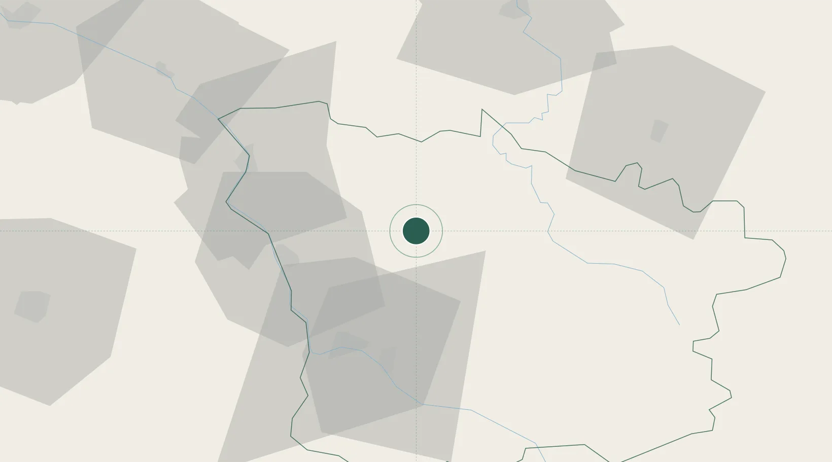
Location
Nearby Logistics Neighbours
Cities
- 1Chasnay12 km
- 2Corvol-l'Orgueilleux19 km
- 3Varennes-lès-Narcy21 km
- 4Raveau21 km
- 5Dirol23 km
Ports
- 1Port Of Rouen295 km
- 2Honfleur332 km
- 3Deauville335 km
- 4Dieppe340 km
- 5Port Of Le Havre342 km
Airports
- 1Nevers-Fourchambault Airport34 km
- 2Avord (BA 702) Air Base58 km
- 3Auxerre Branches airport66 km
- 4Bourges airport76 km
- 5Saint-Yan Airport108 km
Trade Zones
- 1ZFU Bourges79 km
- 2ZFU Sens103 km
- 3ZFU Chenôve124 km
- 4ZFU La Chapelle Saint-Luc, Les Noës-près-Troyes, Troyes, Sainte-Savine127 km
- 5ZFU Montereau-Fault-Yonne128 km
DatabookThe Record of Consolidated Knowledge
France beyond logistics?